Large airport · Ukraine

Lviv International AirportUKLL
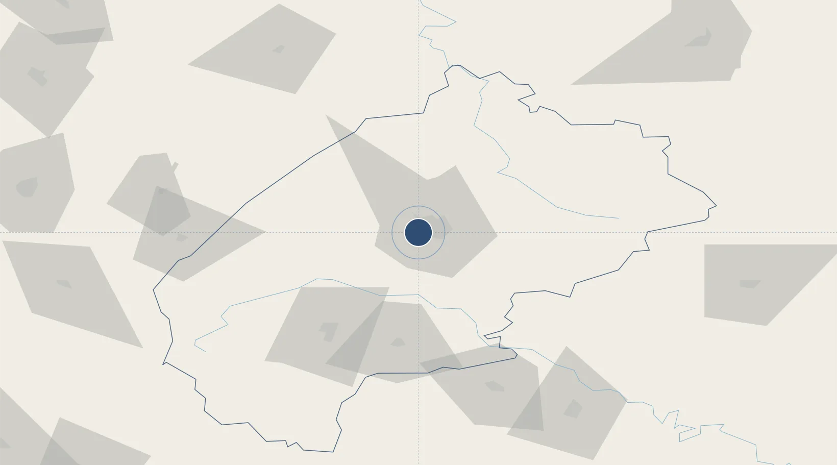
49.8125°, 23.9561°
10,843 ft
Longest runway
1
Runways
1,071 ft
Elevation

Runway & Layout

Lviv International Airport runway & taxiway layout
Runway & taxiway layout — OpenStreetMap (ODbL) / OurAirports

Radio Frequencies

ATIS
128.7 MHz
TWR
128 MHz
APP
126 MHz
RADAR
OurAirports

Navaids

LIV VOR-DME Lviv 115.50 MHz
LO NDB Lviv 315 kHz
LV NDB Lviv 315 kHz
OurAirports

Runways · 1

RunwayDimensions SurfaceTrue headingLit
13/31 10,843 × 148ft Asphalt 136°
OurAirports

Airport Specifications

IATA code
LWO
OurAirports
ICAO code
UKLL
OurAirports
Airport class
Large airport
OurAirports
Scheduled service
Yes
OurAirports
Runway surface
Asphalt
OurAirports
Served city
Lviv
OurAirports

Location

Location of UKLL
Natural Earth 10m (public domain) · L'viv · UKLL · 49.81, 23.96GoogleOSMYandex

Nearby Logistics Neighbours

Airports
  1. 1Ivano-Frankivsk International Airport116 km
  2. 2Rzeszów-Jasionka Airport142 km
  3. 3Uzhhorod International Airport180 km
  4. 4Lublin Airport181 km
  5. 5Chernivtsi International Airport227 km
Nearest neighbours — logibook spatial index (haversine) over the source coordinates
Cities
  1. 1Rava Ruskaya54 km
  2. 2Hrebenne58 km
  3. 3Lubycza Królewska65 km
  4. 4Mostiska67 km
  5. 5Radekhiv70 km
Nearest neighbours — logibook spatial index (haversine) over the source coordinates
Ports
  1. 1Galati578 km
  2. 2Reni586 km
  3. 3Braila590 km
  4. 4Kaliningrad593 km
  5. 5Baltiysk603 km
Nearest neighbours — logibook spatial index (haversine) over the source coordinates
Trade Zones
  1. 1Special Economic Zone Yavoriv43 km
  2. 2Special Economic Zone Kurortopolis Truskavets68 km
  3. 3Special Economic Zone Interport Kovel148 km
  4. 4Transcarpathian Special Economic Zone (Zakarpattia)180 km
  5. 5Euro-Park Mielec186 km
Nearest neighbours — logibook spatial index (haversine) over the source coordinates
DatabookThe Record of Consolidated Knowledge
Ukraine beyond logistics?
Browse databook

All Sources

AirportsOurAirports
Public domain
Portsthe NGA World Port Index
Public domain (US gov)
LocationsUN/LOCODE
UN/LOCODE — free
Trade Zonesthe World Bank SEZ database
CC BY 4.0
Trade ZonesOpen Zone Map
CC BY
InfrastructureOpenStreetMap
ODbL 1.0
← Ukraine airports