Transport Functions
Multimodal
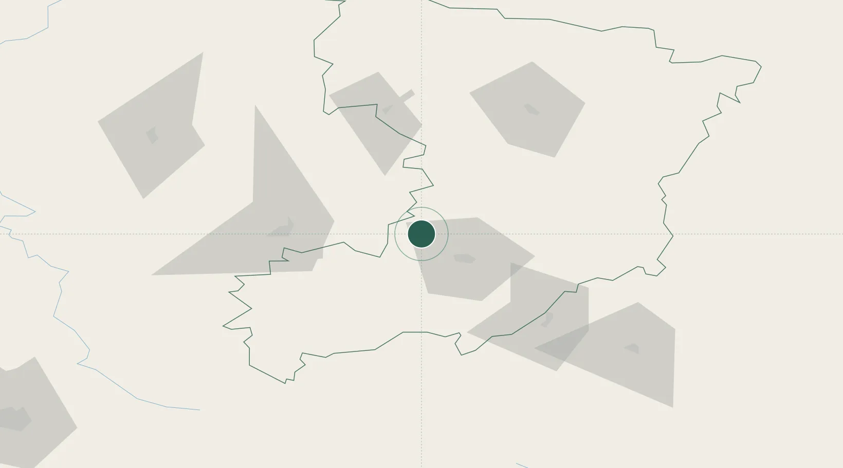
Hub Profile
Place type
Regional capital
Region
Rivne
Population
245,289
Time zone
Europe/Kyiv
Elevation
175 m
Logistics facilities
1
Location
Nearby Logistics Neighbours
Cities
- 1Orzhiv6 km
- 2Shepetovka97 km
- 3Kovel'106 km
- 4Novohrad-Volyns'kyy111 km
- 5Radekhiv113 km
Ports
- 1Kaliningrad577 km
- 2Odesa586 km
- 3Yuzhnyy588 km
- 4Belgorod-Dnestrovsky599 km
- 5Illichivsk600 km
Airports
- 1Rivne International Airport17 km
- 2Khmelnytskyi Airport167 km
- 3Lviv International Airport181 km
- 4Ozerne Air Base202 km
- 5Brest International Airport212 km
Trade Zones
DatabookThe Record of Consolidated Knowledge
Ukraine beyond logistics?