Transport Functions
Multimodal
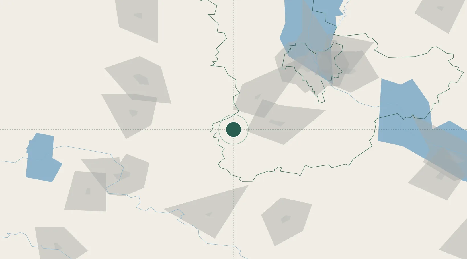
Location
Nearby Logistics Neighbours
Cities
- 1Fastov41 km
- 2Zhashkiv62 km
- 3Illintsi76 km
- 4Korostyshiv78 km
- 5Boyarka80 km
Ports
- 1Mykolayiv354 km
- 2Yuzhnyy363 km
- 3Port Oktyabrsk363 km
- 4Odesa370 km
- 5Illichivsk389 km
Airports
Trade Zones
DatabookThe Record of Consolidated Knowledge
Ukraine beyond logistics?