Transport Functions
Multimodal
Hub Profile
Place type
Provincial seat
Region
Vinnytsia
Population
11,284
Time zone
Europe/Kyiv
Elevation
212 m
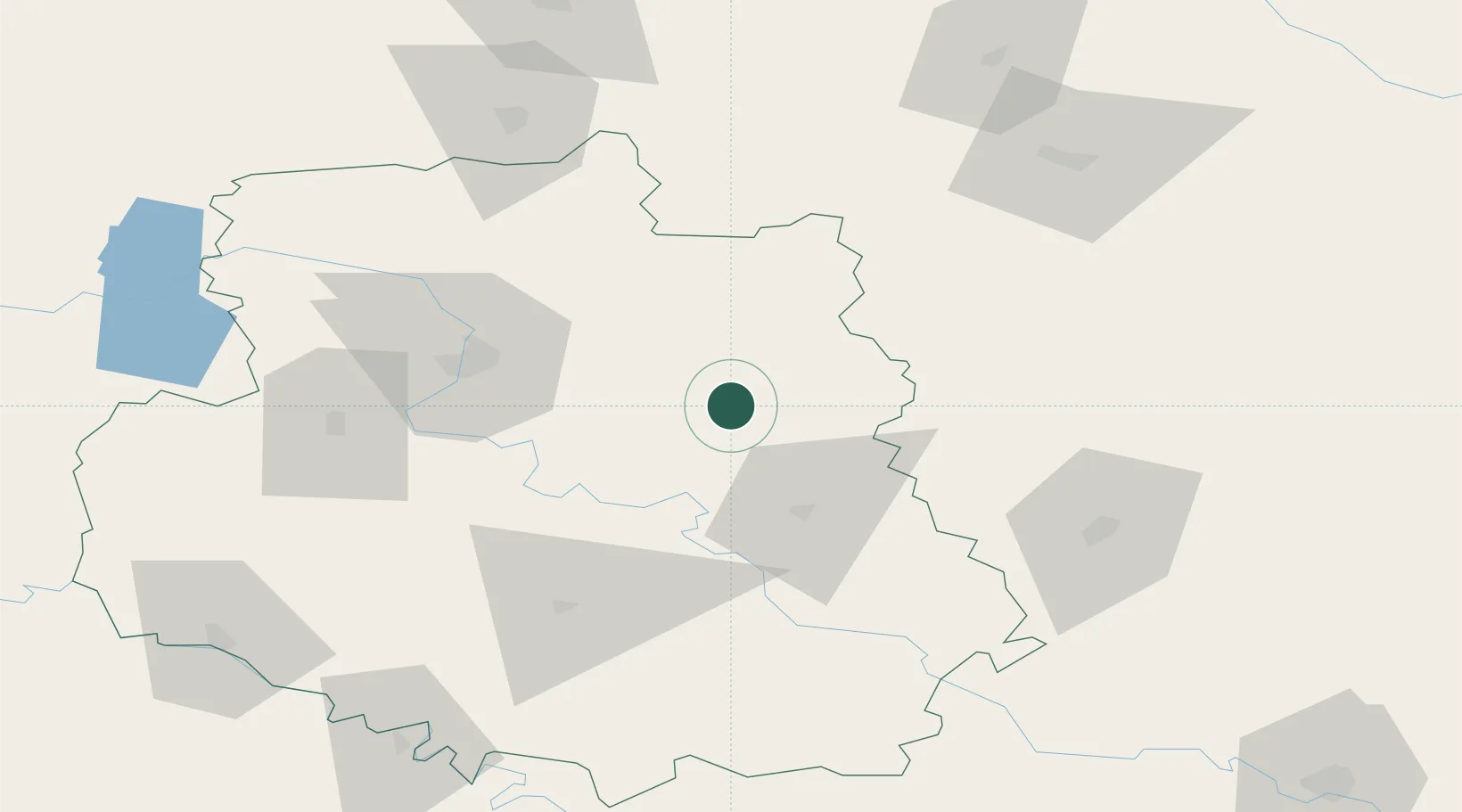
Location
Nearby Logistics Neighbours
Ports
- 1Yuzhnyy311 km
- 2Odesa314 km
- 3Mykolayiv318 km
- 4Port Oktyabrsk325 km
- 5Illichivsk331 km
Airports
- 1Vinnytsia/Gavyryshivka International Airport45 km
- 2Bila Tserkva Air Base96 km
- 3Ozerne Air Base121 km
- 4Mărculești Air Base157 km
- 5Khmelnytskyi Airport167 km
DatabookThe Record of Consolidated Knowledge
Ukraine beyond logistics?