Transport Functions
Multimodal
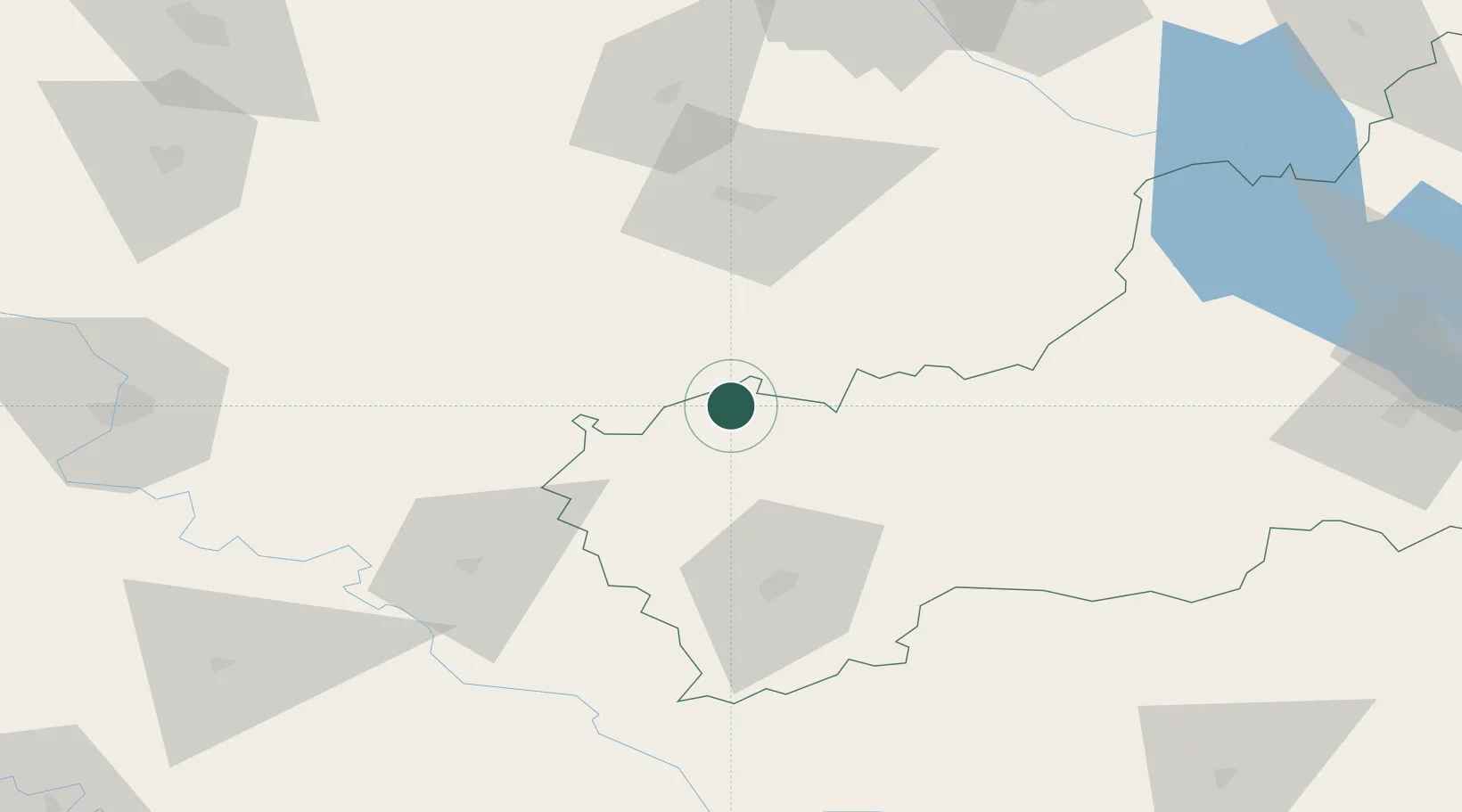
Hub Profile
Place type
Populated place
Region
Cherkasy
Population
13,242
Time zone
Europe/Kyiv
Elevation
229 m
Location
Nearby Logistics Neighbours
Cities
- 1Uman56 km
- 2Tal Ne60 km
- 3Skvira62 km
- 4Illintsi67 km
- 5Korsun Shevchenkivskyy86 km
Ports
- 1Mykolayiv292 km
- 2Port Oktyabrsk301 km
- 3Yuzhnyy303 km
- 4Odesa311 km
- 5Illichivsk331 km
Airports
Trade Zones
DatabookThe Record of Consolidated Knowledge
Ukraine beyond logistics?