Transport Functions
Multimodal
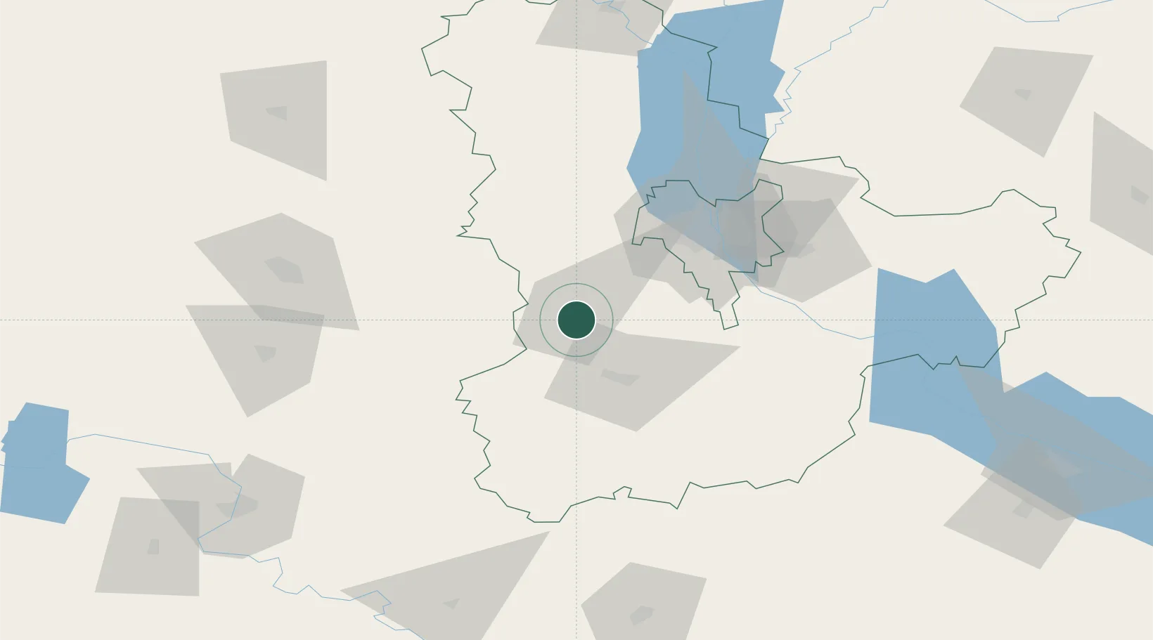
Hub Profile
Region
30
Logistics facilities
1
Location
Nearby Logistics Neighbours
Cities
- 1Boyarka39 km
- 2Skvira41 km
- 3Kyiv57 km
- 4Korostyshiv69 km
- 5Dudarkov84 km
Ports
- 1Mykolayiv377 km
- 2Port Oktyabrsk387 km
- 3Yuzhnyy392 km
- 4Odesa402 km
- 5Illichivsk421 km
Airports
Trade Zones
DatabookThe Record of Consolidated Knowledge
Ukraine beyond logistics?