Transport Functions
Multimodal
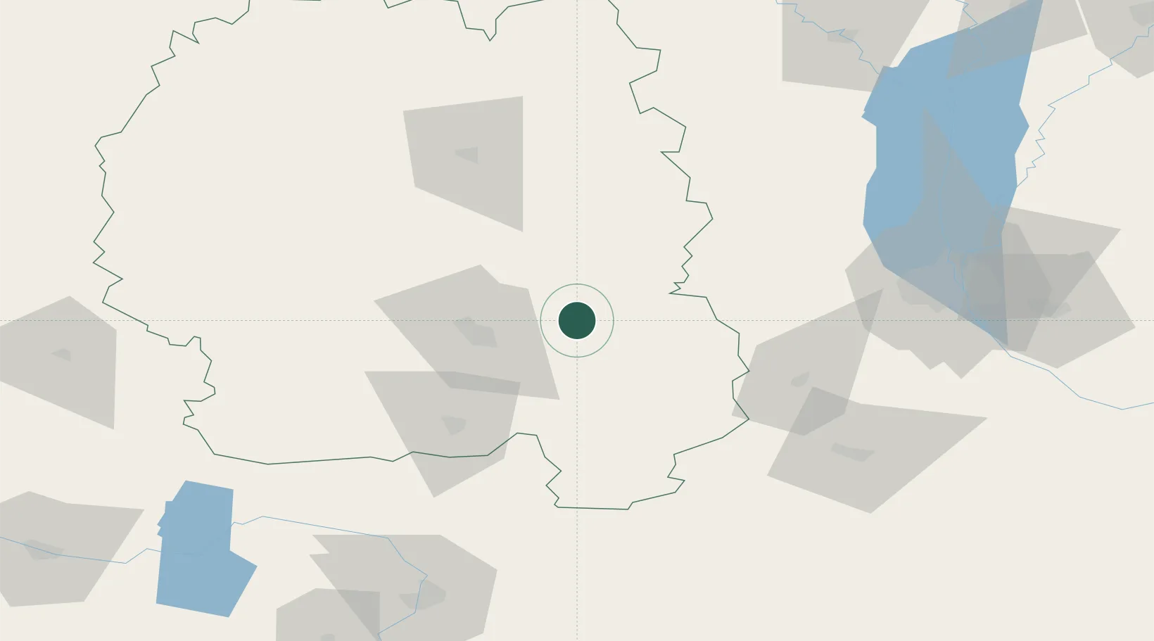
Hub Profile
Place type
Populated place
Region
Zhytomyr
Population
24,129
Time zone
Europe/Kyiv
Elevation
180 m
Location
Nearby Logistics Neighbours
Ports
- 1Mykolayiv431 km
- 2Yuzhnyy438 km
- 3Port Oktyabrsk441 km
- 4Odesa444 km
- 5Illichivsk462 km
Airports
Trade Zones
DatabookThe Record of Consolidated Knowledge
Ukraine beyond logistics?