Medium airport · Ukraine

Ihor Sikorsky Kyiv International Airport (Zhuliany)UKKK
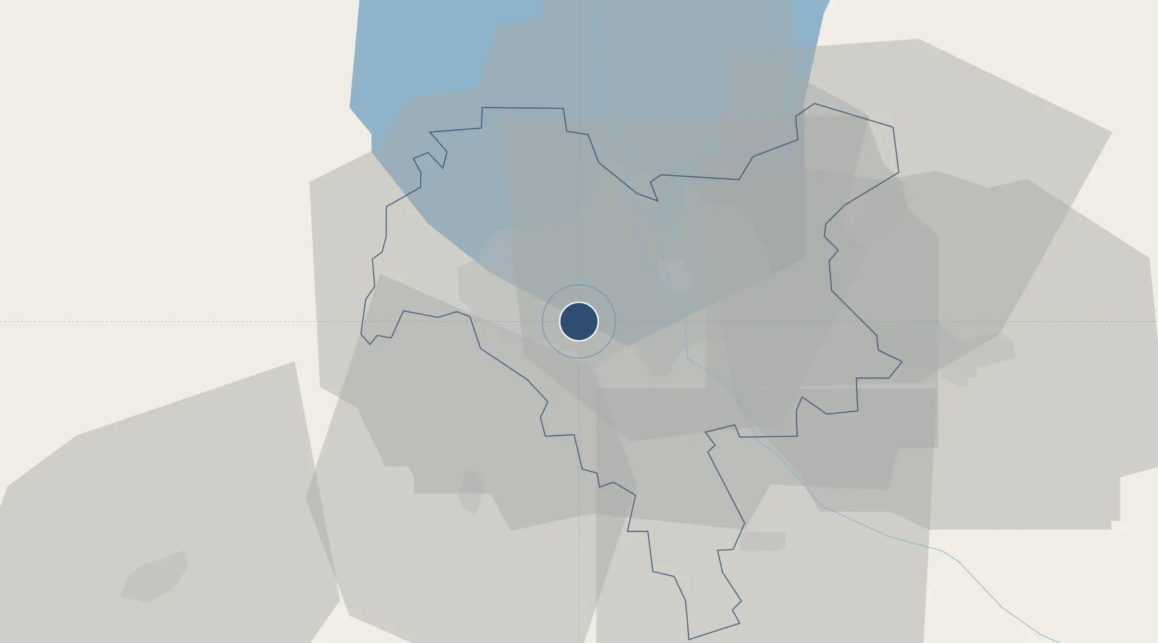
50.4019°, 30.4519°
7,579 ft
Longest runway
1
Runways
587 ft
Elevation

Runway & Layout

Ihor Sikorsky Kyiv International Airport (Zhuliany) runway & taxiway layout
Runway & taxiway layout — OpenStreetMap (ODbL) / OurAirports

Radio Frequencies

TWR
120.7 MHz
Tower
GND
119 MHz
APP
125.3 MHz
KYIV RADAR
ATIS (eng)
127.475 MHz
METEO
ATIS (rus)
126.8 MHz
Zhuliany ATIS
OurAirports

Navaids

KI NDB Zhulyany 360 kHz
KV NDB Zhulyany 360 kHz
OurAirports

Runways · 1

RunwayDimensions SurfaceTrue headingLit
08/26 7,579 × 148ft Concrete 086°
OurAirports

Airport Specifications

IATA code
IEV
OurAirports
ICAO code
UKKK
OurAirports
Airport class
Medium airport
OurAirports
Scheduled service
Yes
OurAirports
Runway surface
Concrete
OurAirports
Served city
Kyiv
OurAirports

Location

Location of UKKK
Natural Earth 10m (public domain) · Kiev City · UKKK · 50.40, 30.45GoogleOSMYandex

Nearby Logistics Neighbours

Airports
  1. 1Hostomel Airport29 km
  2. 2Boryspil International Airport32 km
  3. 3Bila Tserkva Air Base74 km
  4. 4Ozerne Air Base125 km
  5. 5Nizhyn Air Base126 km
Nearest neighbours — logibook spatial index (haversine) over the source coordinates
Cities
  1. 1Kyiv4 km
  2. 2Boyarka14 km
  3. 3Dudarkov36 km
  4. 4Fastov53 km
  5. 5Bobrovitsa75 km
Nearest neighbours — logibook spatial index (haversine) over the source coordinates
Ports
  1. 1Mykolayiv400 km
  2. 2Port Oktyabrsk412 km
  3. 3Yuzhnyy425 km
  4. 4Odesa436 km
  5. 5Kherson450 km
Nearest neighbours — logibook spatial index (haversine) over the source coordinates
Trade Zones
  1. 1Slavutych Special Economic Zone126 km
  2. 2Free Economic Zone Gomel-Raton208 km
  3. 3Free Enterprise Zone- Otaci Business Park291 km
  4. 4Free International Airport Mărculești326 km
  5. 5Free Economic Zone Mogiliov350 km
Nearest neighbours — logibook spatial index (haversine) over the source coordinates
DatabookThe Record of Consolidated Knowledge
Ukraine beyond logistics?
Browse databook

All Sources

AirportsOurAirports
Public domain
Portsthe NGA World Port Index
Public domain (US gov)
LocationsUN/LOCODE
UN/LOCODE — free
Trade Zonesthe World Bank SEZ database
CC BY 4.0
Trade ZonesOpen Zone Map
CC BY
InfrastructureOpenStreetMap
ODbL 1.0
← Ukraine airports