Medium airport · Ukraine

Vinnytsia/Gavyryshivka International AirportUKWW
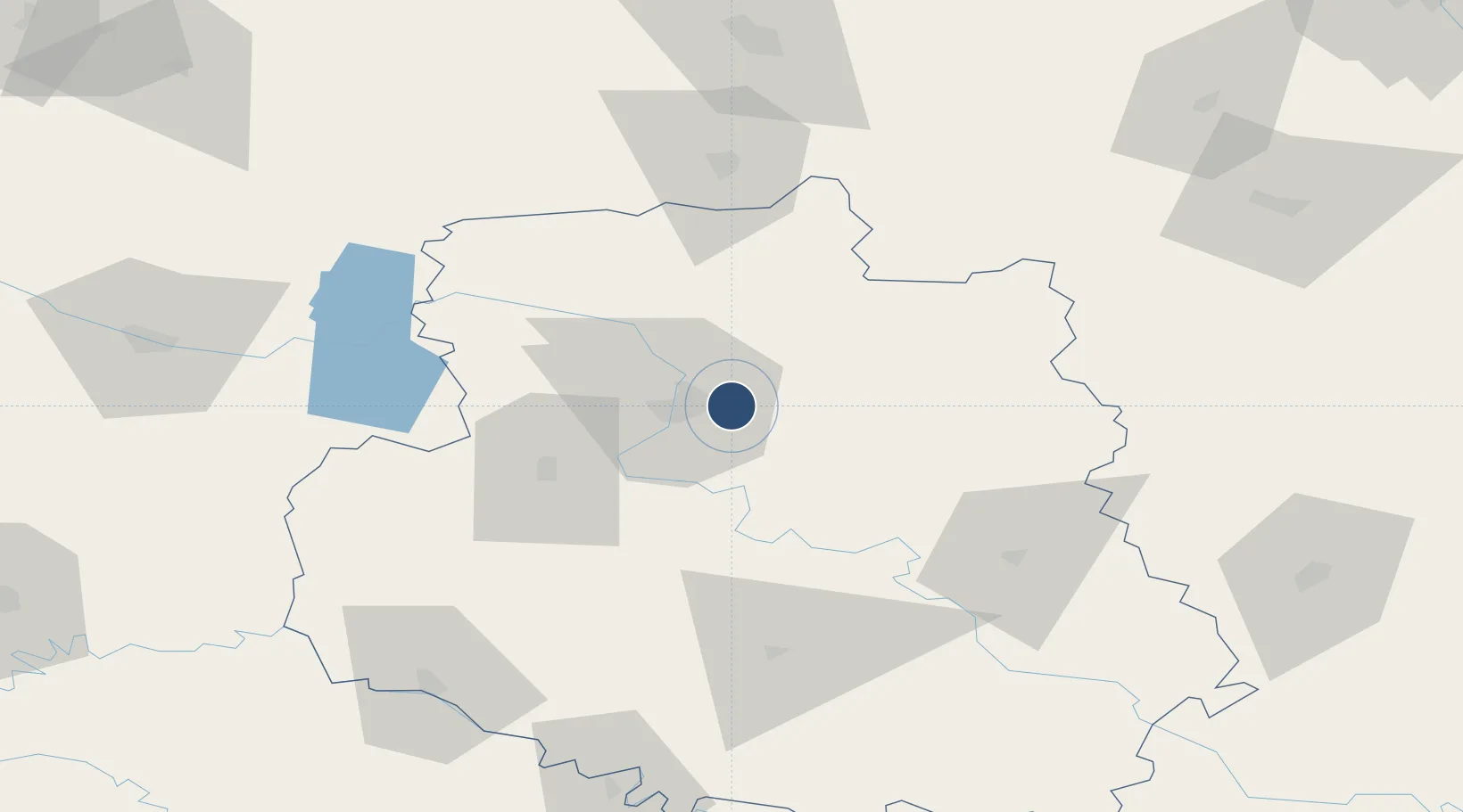
49.2425°, 28.6138°
8,175 ft
Longest runway
1
Runways
961 ft
Elevation

Runway & Layout

Vinnytsia/Gavyryshivka International Airport runway & taxiway layout
Runway & taxiway layout — OpenStreetMap (ODbL) / OurAirports

Runways · 1

RunwayDimensions SurfaceTrue headingLit
13/31 8,175 × 117ft concrete
OurAirports

Airport Specifications

IATA code
VIN
OurAirports
ICAO code
UKWW
OurAirports
Airport class
Medium airport
OurAirports
Scheduled service
No
OurAirports
Runway surface
concrete
OurAirports
Served city
Vinnitsa
OurAirports

Location

Location of UKWW
Natural Earth 10m (public domain) · Vinnytsya · UKWW · 49.24, 28.61GoogleOSMYandex

Nearby Logistics Neighbours

Airports
  1. 1Ozerne Air Base102 km
  2. 2Bila Tserkva Air Base119 km
  3. 3Khmelnytskyi Airport123 km
  4. 4Mărculești Air Base156 km
  5. 5Bălți-Leadoveni International Airport168 km
Nearest neighbours — logibook spatial index (haversine) over the source coordinates
Cities
  1. 1Nemirov35 km
  2. 2Illintsi45 km
  3. 3Bar72 km
  4. 4Skvira94 km
  5. 5Zhashkiv108 km
Nearest neighbours — logibook spatial index (haversine) over the source coordinates
Ports
  1. 1Yuzhnyy344 km
  2. 2Odesa345 km
  3. 3Mykolayiv357 km
  4. 4Illichivsk361 km
  5. 5Port Oktyabrsk364 km
Nearest neighbours — logibook spatial index (haversine) over the source coordinates
DatabookThe Record of Consolidated Knowledge
Ukraine beyond logistics?
Browse databook

All Sources

AirportsOurAirports
Public domain
Portsthe NGA World Port Index
Public domain (US gov)
LocationsUN/LOCODE
UN/LOCODE — free
Trade Zonesthe World Bank SEZ database
CC BY 4.0
Trade ZonesOpen Zone Map
CC BY
InfrastructureOpenStreetMap
ODbL 1.0
← Ukraine airports