Free Trade Zone · Moldova

Zona Economică Liberă Bălți Active
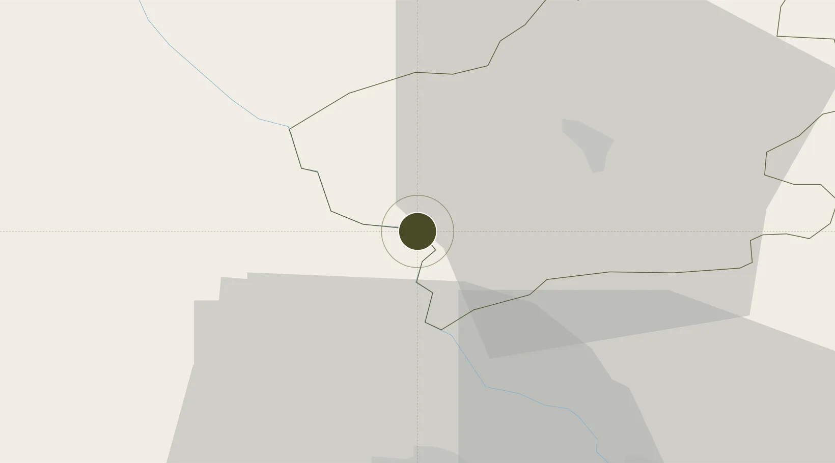
47.4706°, 27.5641°
122 ha
Zone area
231.8 km
Nearest port
32.6 km
Nearest airport

Gateway access

Nearest neighbours — logibook spatial index (haversine) over the source coordinates

Zone profile

Zone type
Free Trade Zone
Open Zone Map
Region
Făleşti
Open Zone Map
Status
Active
Open Zone Map
Management
Public
Open Zone Map
Operator
Ministry of Economics and Infrastructure of Moldova
Open Zone Map
Legal framework
Law on Free Economic Zones No. 440-XV from 27 July, 2001
Open Zone Map

Location

Location of ozm-2858
Natural Earth 10m (public domain) · Făleşti · ozm-2858 · 47.47, 27.56GoogleOSMYandex

Nearby Logistics Neighbours

Ports
  1. 1Galati232 km
  2. 2Reni233 km
  3. 3Braila249 km
  4. 4Belgorod-Dnestrovsky257 km
  5. 5Izmayil257 km
Nearest neighbours — logibook spatial index (haversine) over the source coordinates
Airports
  1. 1Iaşi International Airport33 km
  2. 2Bălți-Leadoveni International Airport44 km
  3. 3Mărculești Air Base65 km
  4. 4Suceava Ștefan cel Mare International Airport94 km
  5. 5Bacău George Enescu International Airport117 km
Nearest neighbours — logibook spatial index (haversine) over the source coordinates
Cities
  1. 1Falesti15 km
  2. 2Bolotino29 km
  3. 3Valea Lupului33 km
  4. 4Iasi34 km
  5. 5Balti (Bel'cy)41 km
Nearest neighbours — logibook spatial index (haversine) over the source coordinates
DatabookThe Record of Consolidated Knowledge
Moldova beyond logistics?
Browse databook

All Sources

Trade ZonesOpen Zone Map
CC BY
Portsthe NGA World Port Index
Public domain (US gov)
AirportsOurAirports
Public domain
LocationsUN/LOCODE
UN/LOCODE — free
← Moldova trade zones