UN/LOCODE hub · Ukraine
UAZUH

Boyarka

50.3167°, 30.3167°
289
Population
1
Transport functions

Transport Functions

Multimodal
UN/LOCODE

Hub Profile

Place type
Populated place
GeoNames
Region
Odesa
GeoNames
Population
289
GeoNames
Time zone
Europe/Kyiv
GeoNames
Elevation
190 m
GeoNames

Location

Location of UAZUH
Natural Earth 10m (public domain) · Odesa · UAZUH · 50.32, 30.32GoogleOSMYandex

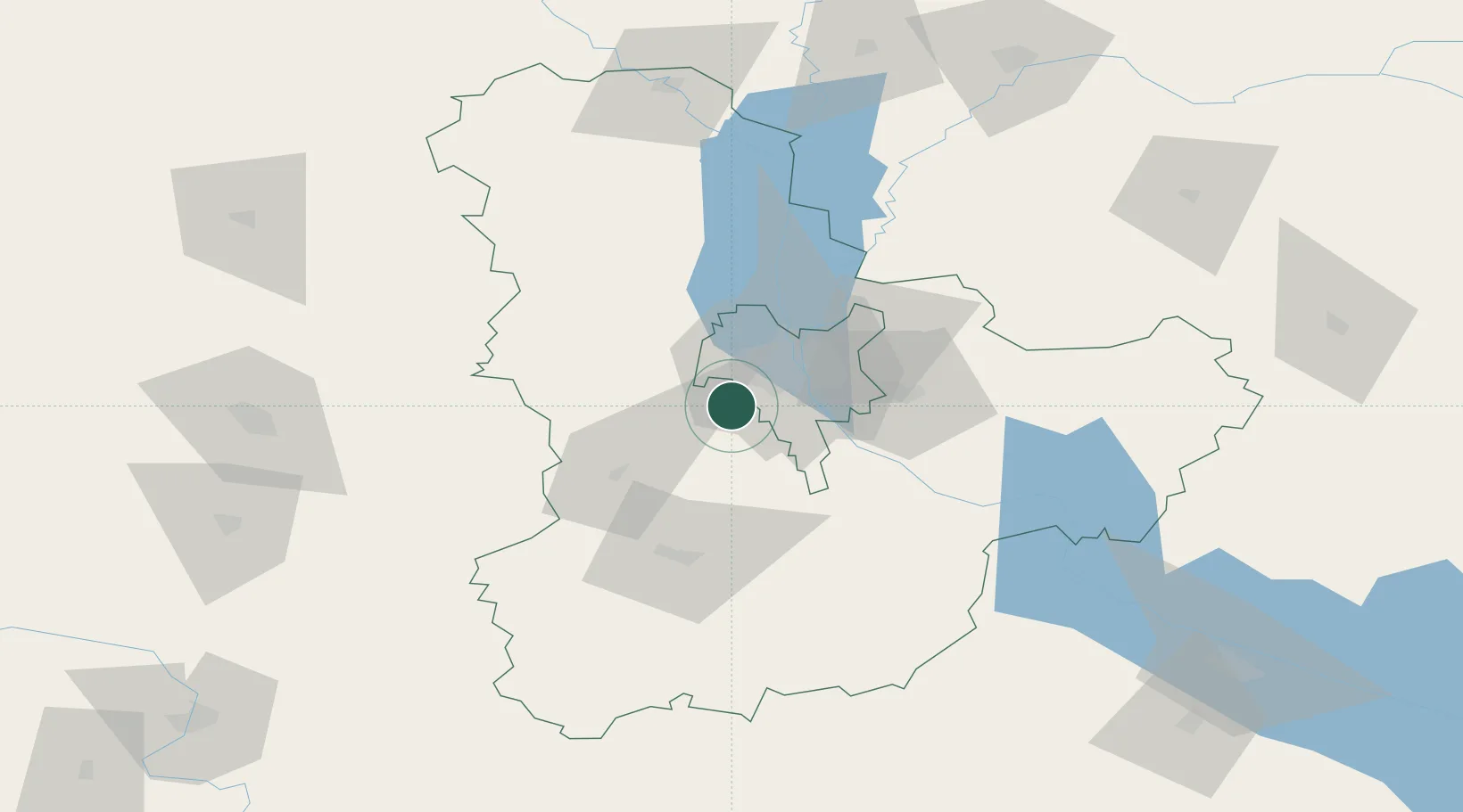
Nearby Logistics Neighbours

Cities
  1. 1Kyiv17 km
  2. 2Fastov39 km
  3. 3Dudarkov47 km
  4. 4Skvira80 km
  5. 5Bobrovitsa89 km
Nearest neighbours — logibook spatial index (haversine) over the source coordinates
Ports
  1. 1Mykolayiv394 km
  2. 2Port Oktyabrsk405 km
  3. 3Yuzhnyy417 km
  4. 4Odesa427 km
  5. 5Kherson445 km
Nearest neighbours — logibook spatial index (haversine) over the source coordinates
Airports
  1. 1Ihor Sikorsky Kyiv International Airport (Zhuliany)14 km
  2. 2Hostomel Airport33 km
  3. 3Boryspil International Airport41 km
  4. 4Bila Tserkva Air Base62 km
  5. 5Ozerne Air Base114 km
Nearest neighbours — logibook spatial index (haversine) over the source coordinates
Trade Zones
  1. 1Slavutych Special Economic Zone137 km
  2. 2Free Economic Zone Gomel-Raton218 km
  3. 3Free Enterprise Zone- Otaci Business Park278 km
  4. 4Free International Airport Mărculești313 km
  5. 5Free Economic Zone Mogiliov359 km
Nearest neighbours — logibook spatial index (haversine) over the source coordinates
DatabookThe Record of Consolidated Knowledge
Ukraine beyond logistics?
Browse databook

All Sources

LocationsUN/LOCODE
UN/LOCODE — free
LocationsGeoNames
CC BY 4.0
Portsthe NGA World Port Index
Public domain (US gov)
AirportsOurAirports
Public domain
Trade Zonesthe World Bank SEZ database
CC BY 4.0
Trade ZonesOpen Zone Map
CC BY
← Ukraine locations