Free Trade Zone · Moldova

Free International Airport Mărculești Active
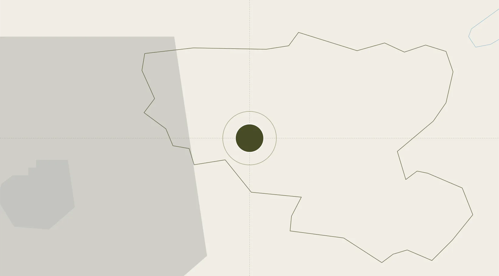
47.8648°, 28.2176°
265 ha
Zone area
244.4 km
Nearest port
0.4 km
Nearest airport

Gateway access

Nearest neighbours — logibook spatial index (haversine) over the source coordinates

Zone profile

Zone type
Free Trade Zone
Open Zone Map
Region
Floreşti
Open Zone Map
Status
Active
Open Zone Map
Management
Public
Open Zone Map
Operator
Ministry of Economics and Infrastructure of Moldova
Open Zone Map
Legal framework
Law on Free Economic Zones No. 440-XV from 27 July, 2001
Open Zone Map

Location

Location of ozm-2859
Natural Earth 10m (public domain) · Floreşti · ozm-2859 · 47.86, 28.22GoogleOSMYandex

Nearby Logistics Neighbours

Ports
  1. 1Odesa244 km
  2. 2Belgorod-Dnestrovsky248 km
  3. 3Illichivsk253 km
  4. 4Yuzhnyy254 km
  5. 5Reni270 km
Nearest neighbours — logibook spatial index (haversine) over the source coordinates
Airports
  1. 1Mărculești Air Base0 km
  2. 2Bălți-Leadoveni International Airport33 km
  3. 3Iaşi International Airport88 km
  4. 4Chişinău International Airport117 km
  5. 5Suceava Ștefan cel Mare International Airport141 km
Nearest neighbours — logibook spatial index (haversine) over the source coordinates
Cities
  1. 1Balti (Bel'cy)26 km
  2. 2Falesti51 km
  3. 3Ribnita60 km
  4. 4Kupchino67 km
  5. 5Bolotino69 km
Nearest neighbours — logibook spatial index (haversine) over the source coordinates
DatabookThe Record of Consolidated Knowledge
Moldova beyond logistics?
Browse databook

All Sources

Trade ZonesOpen Zone Map
CC BY
Portsthe NGA World Port Index
Public domain (US gov)
AirportsOurAirports
Public domain
LocationsUN/LOCODE
UN/LOCODE — free
← Moldova trade zones