Transport Functions
Multimodal
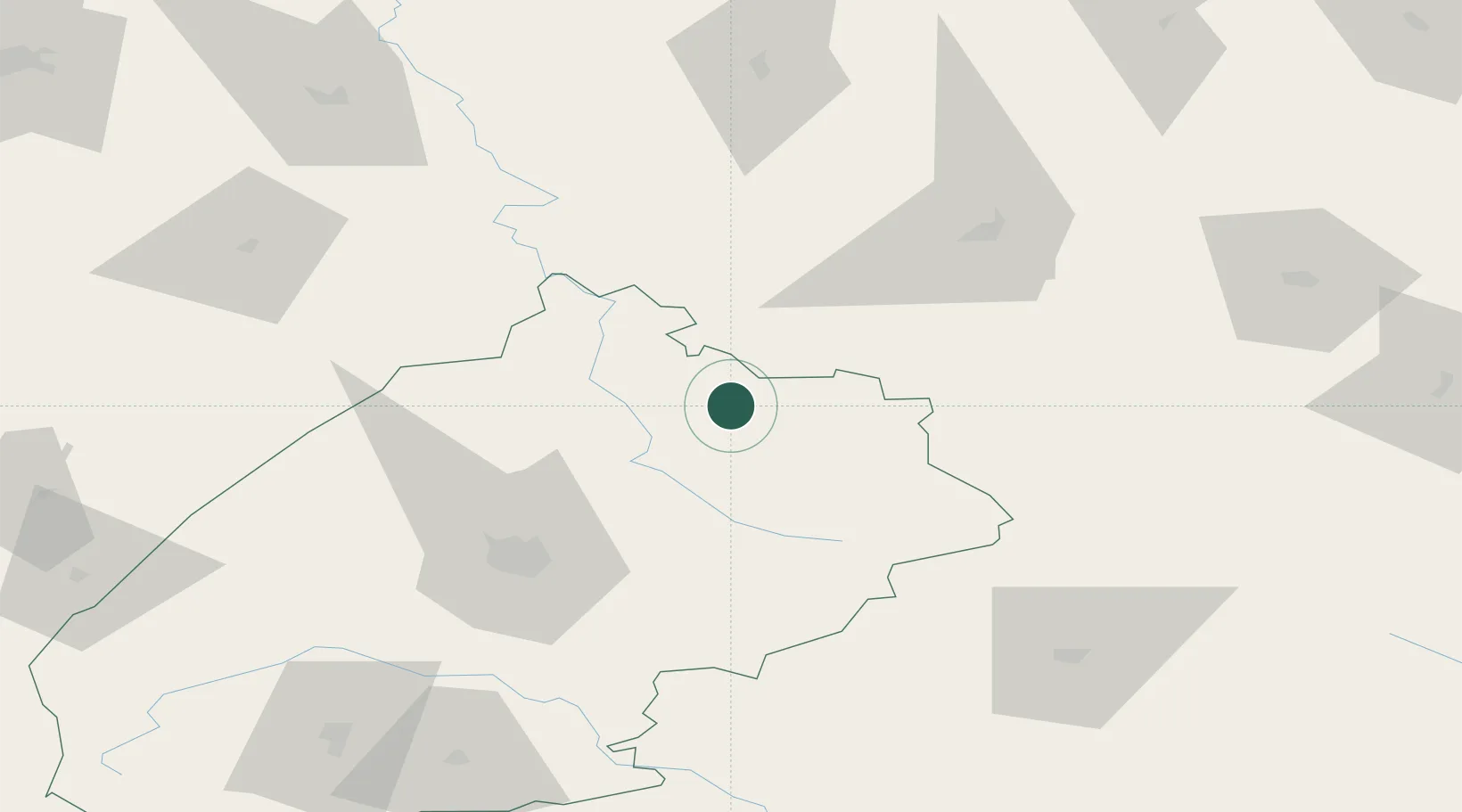
Hub Profile
Place type
District seat
Region
Lviv
Population
9,680
Time zone
Europe/Kyiv
Elevation
234 m
Location
Nearby Logistics Neighbours
Cities
- 1Fagaras53 km
- 2Novovolyns'k62 km
- 3Orane67 km
- 4Rava Ruskaya72 km
- 5Hrebenne76 km
Ports
- 1Kaliningrad567 km
- 2Baltiysk582 km
- 3Galati597 km
- 4Reni603 km
- 5Gdansk608 km
Airports
- 1Lviv International Airport70 km
- 2Rivne International Airport113 km
- 3Ivano-Frankivsk International Airport154 km
- 4Lublin Airport173 km
- 5Rzeszów-Jasionka Airport187 km
DatabookThe Record of Consolidated Knowledge
Ukraine beyond logistics?