Transport Functions
Multimodal
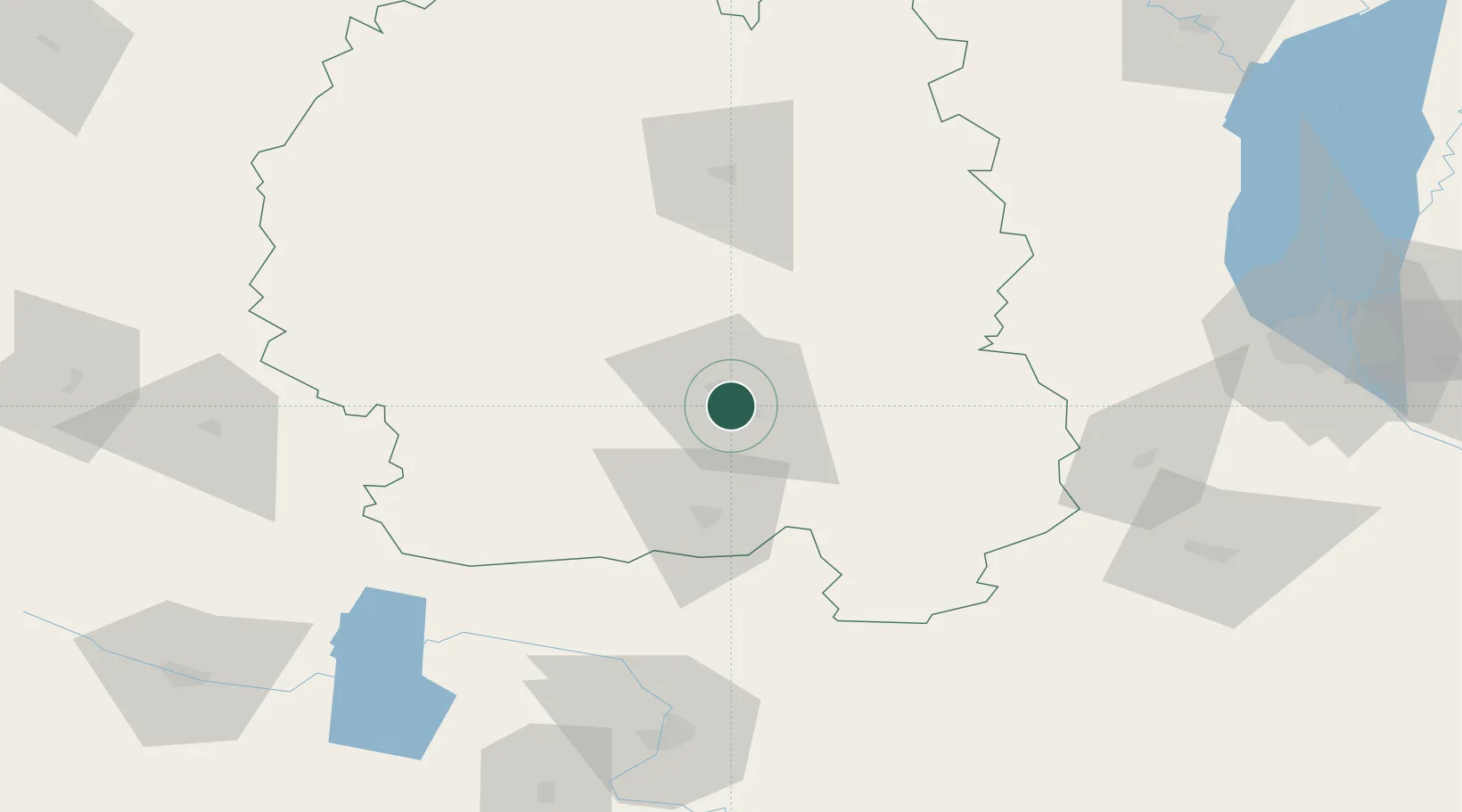
Hub Profile
Place type
Regional capital
Region
Zhytomyr
Population
261,624
Time zone
Europe/Kyiv
Elevation
236 m
Location
Nearby Logistics Neighbours
Cities
- 1Korostyshiv29 km
- 2Prut44 km
- 3Korosten'78 km
- 4Novohrad-Volyns'kyy85 km
- 5Skvira92 km
Ports
- 1Mykolayiv441 km
- 2Yuzhnyy441 km
- 3Odesa446 km
- 4Port Oktyabrsk450 km
- 5Illichivsk463 km
Airports
Trade Zones
DatabookThe Record of Consolidated Knowledge
Ukraine beyond logistics?