Transport Functions
Rail
Road
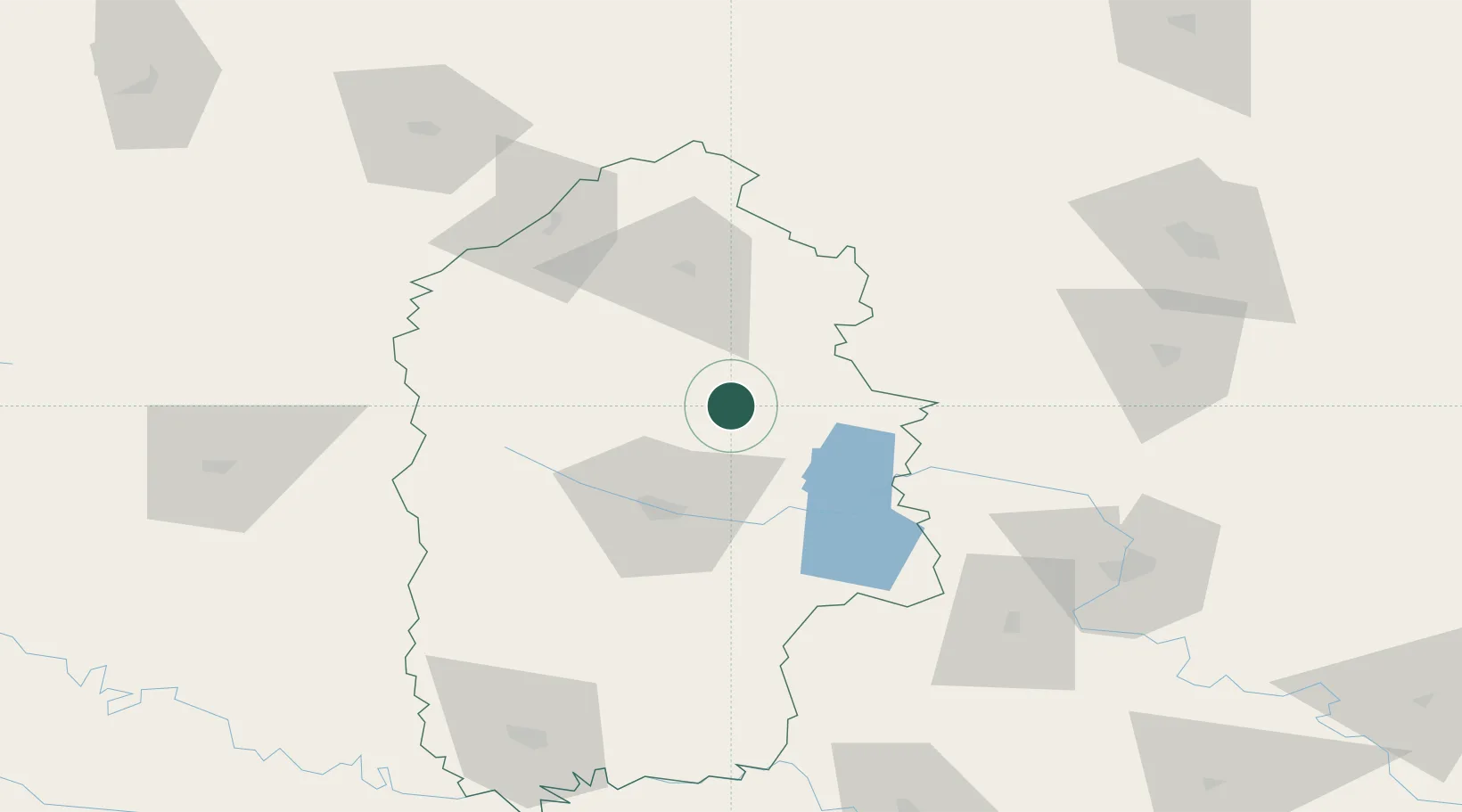
Hub Profile
Region
68
Location
Nearby Logistics Neighbours
Cities
- 1Shepetovka48 km
- 2Bar83 km
- 3Prut87 km
- 4Novohrad-Volyns'kyy98 km
- 5Zhytomyr118 km
Ports
- 1Odesa447 km
- 2Yuzhnyy449 km
- 3Belgorod-Dnestrovsky461 km
- 4Illichivsk461 km
- 5Mykolayiv470 km
Airports
DatabookThe Record of Consolidated Knowledge
Ukraine beyond logistics?