Transport Functions
Rail
Road
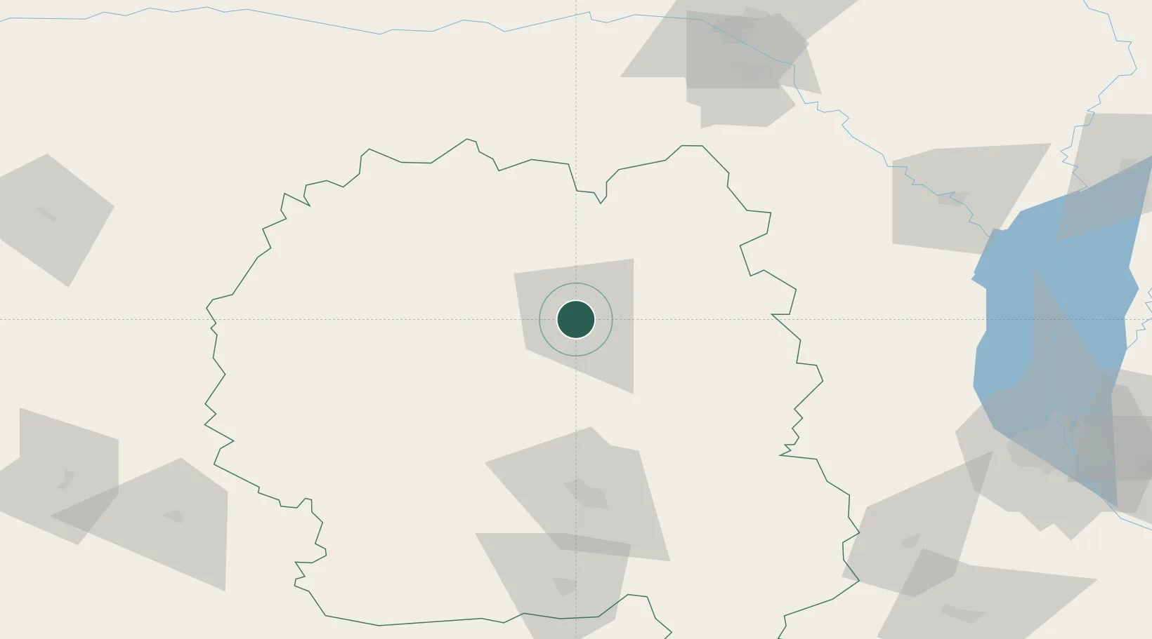
Hub Profile
Place type
Provincial seat
Region
Zhytomyr
Population
61,496
Time zone
Europe/Kyiv
Elevation
178 m
Location
Nearby Logistics Neighbours
Cities
- 1Korostyshiv77 km
- 2Zhytomyr78 km
- 3Prut82 km
- 4Novohrad-Volyns'kyy82 km
- 5Fastov136 km
Ports
- 1Mykolayiv508 km
- 2Yuzhnyy514 km
- 3Port Oktyabrsk517 km
- 4Odesa520 km
- 5Illichivsk538 km
Airports
- 1Ozerne Air Base88 km
- 2Hostomel Airport116 km
- 3Ihor Sikorsky Kyiv International Airport (Zhuliany)142 km
- 4Bila Tserkva Air Base162 km
- 5Boryspil International Airport173 km
Trade Zones
DatabookThe Record of Consolidated Knowledge
Ukraine beyond logistics?