Transport Functions
Rail
Road
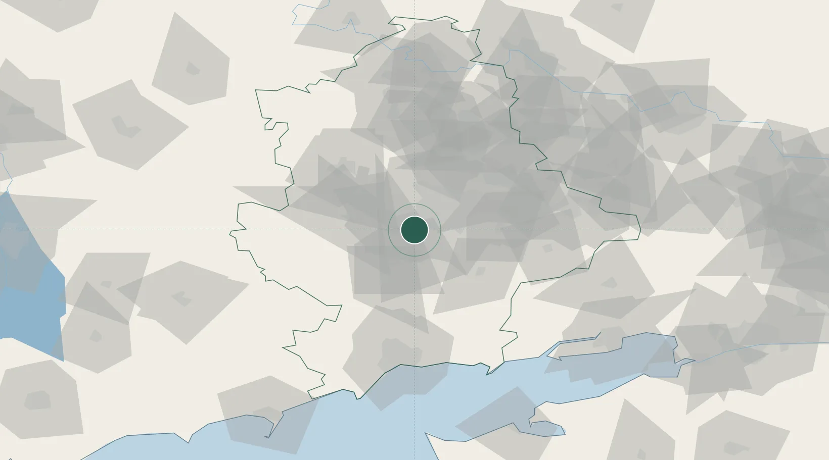
Location
Nearby Logistics Neighbours
Cities
- 1Vuhlehirsk64 km
- 2Artemovsk80 km
- 3Mariupol97 km
- 4Alchevs'k103 km
- 5Slov'yans'k104 km
Airports
- 1Mariupol International Airport95 km
- 2Taganrog Tsentralny Air Base115 km
- 3Taganrog Yuzhny Airport119 km
- 4Berdyansk Airport140 km
- 5Yeysk Airport144 km
DatabookThe Record of Consolidated Knowledge
Ukraine beyond logistics?