Diversified Zone · Ukraine

Special Economic Zone Nikolaev (Mykolaiv) Active
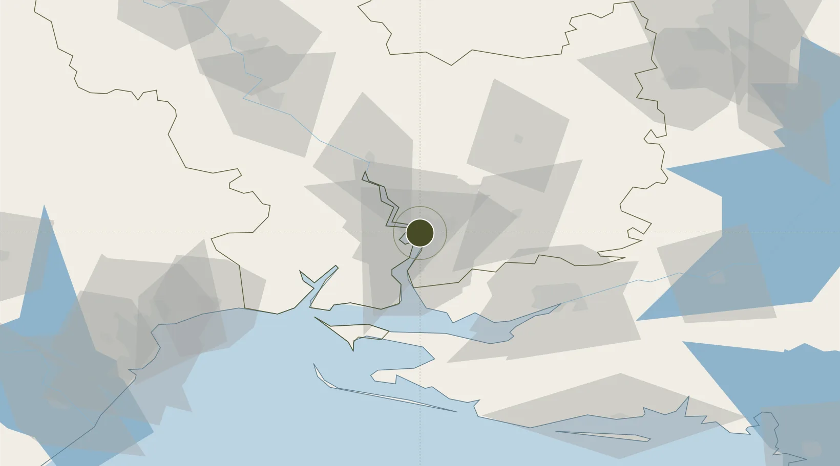
46.9750°, 31.9946°
865 ha
Zone area
2.9 km
Nearest port
10.8 km
Nearest airport

Gateway access

Nearest neighbours — logibook spatial index (haversine) over the source coordinates

Zone profile

Zone type
Diversified Zone
Open Zone Map
Region
Mykolayiv
Open Zone Map
Status
Active
Open Zone Map
Management
Public
Open Zone Map
Operator
Mykolayiv City Council and Control Organ of Economic Development and Management of SEZ "Nikolaev".
Open Zone Map
Legal framework
Law of Ukraine of 13.07.2000 № 1909 “About the Special Economic Zone” Nikolaev “
Open Zone Map

Location

Location of ozm-4616
Natural Earth 10m (public domain) · Mykolayiv · ozm-4616 · 46.98, 31.99GoogleOSMYandex

Nearby Logistics Neighbours

Ports
  1. 1Mykolayiv3 km
  2. 2Port Oktyabrsk16 km
  3. 3Kherson61 km
  4. 4Yuzhnyy85 km
  5. 5Odesa111 km
Nearest neighbours — logibook spatial index (haversine) over the source coordinates
Airports
  1. 1Mykolaiv International Airport11 km
  2. 2Kherson International Airport51 km
  3. 3Odesa International Airport118 km
  4. 4Kryvyi Rih International Airport150 km
  5. 5Dolgintsevo Air Base154 km
Nearest neighbours — logibook spatial index (haversine) over the source coordinates
Cities
  1. 1Mykolayiv1 km
  2. 2Mykolaiv5 km
  3. 3Olviia16 km
  4. 4Ochakiv53 km
  5. 5Chernobayevka53 km
Nearest neighbours — logibook spatial index (haversine) over the source coordinates
DatabookThe Record of Consolidated Knowledge
Ukraine beyond logistics?
Browse databook

All Sources

Trade ZonesOpen Zone Map
CC BY
Portsthe NGA World Port Index
Public domain (US gov)
AirportsOurAirports
Public domain
LocationsUN/LOCODE
UN/LOCODE — free
← Ukraine trade zones