Transport Functions
Rail
Road
Hub Profile
Place type
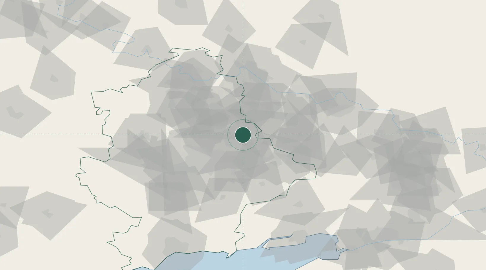
Populated place
Region
Donetsk
Population
7,294
Time zone
Europe/Kyiv
Elevation
290 m
Location
Nearby Logistics Neighbours
Cities
- 1Artemovsk34 km
- 2Alchevs'k41 km
- 3Mandrykino64 km
- 4Severodonetsk70 km
- 5Slov'yans'k79 km
Ports
- 1Taganrog134 km
- 2Mariupol147 km
- 3Azov160 km
- 4Rostov-Na-Donu167 km
- 5Yeysk176 km
Airports
- 1Taganrog Tsentralny Air Base126 km
- 2Taganrog Yuzhny Airport131 km
- 3Mariupol International Airport151 km
- 4Platov International Airport153 km
- 5Rostov-on-Don Central Air Base154 km
Trade Zones
DatabookThe Record of Consolidated Knowledge
Ukraine beyond logistics?