Diversified Zone · Ukraine
Azov Economic Zone Active
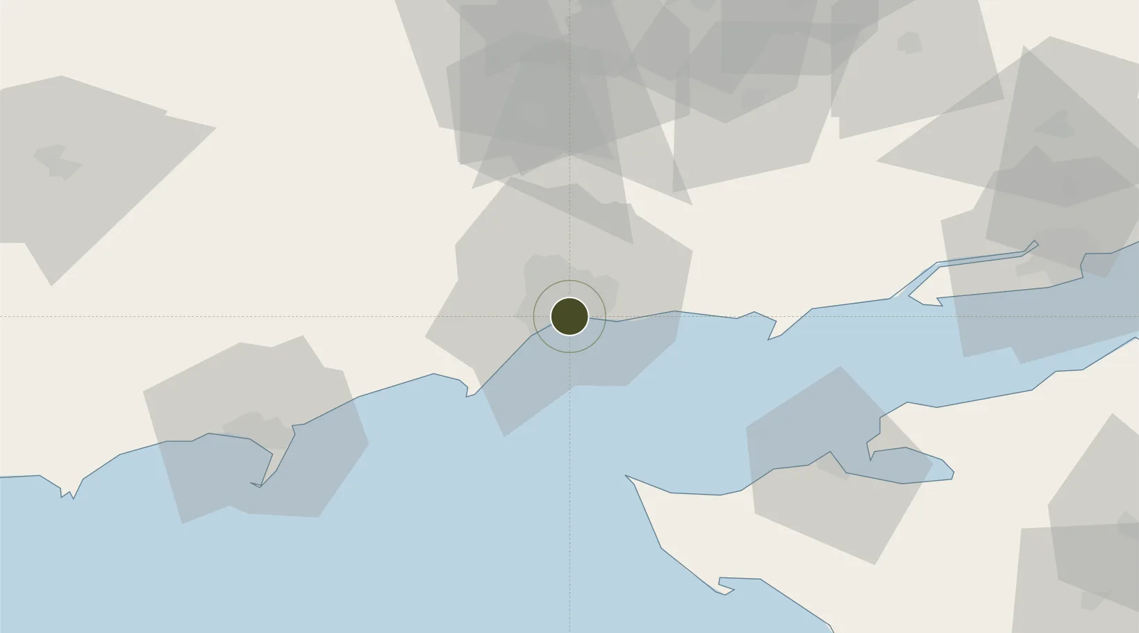
47.0876°, 37.5854°
315 ha
Zone area
1.5 km
Nearest port
10.4 km
Nearest airport
Gateway access
Zone profile
Zone type
Diversified Zone
Region
Donets'k
Status
Active
Management
Public
Operator
City of Mariupol Authority
Legal framework
About Special Economic Zones and Special Regime of Investment Activity in Donetsk region (Vidomosti Verkhovnoi Rady Ukrainy (VVR), 1999, N 7, p. 50), Law "On Foreign Economic Activity" No. 960-XII of April 16, 1991, On the General Principles of Creation a
Location
Nearby Logistics Neighbours
Airports
- 1Mariupol International Airport10 km
- 2Yeysk Airport66 km
- 3Berdyansk Airport70 km
- 4Taganrog Yuzhny Airport96 km
- 5Taganrog Tsentralny Air Base97 km
Cities
- 1Mariupol8 km
- 2Berdiansk73 km
- 3Mandrykino92 km
- 4Polohy110 km
- 5Primorsko-Akhtarsk125 km
DatabookThe Record of Consolidated Knowledge
Ukraine beyond logistics?