Transport Functions
Multimodal
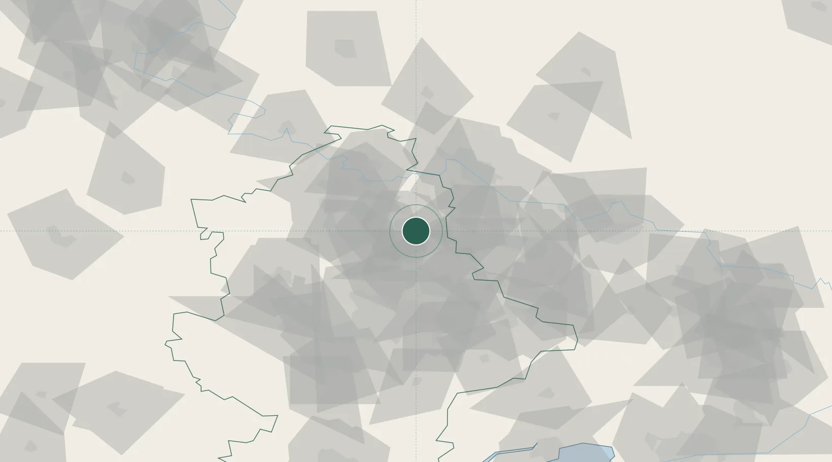
Hub Profile
Region
14
Location
Nearby Logistics Neighbours
Cities
- 1Vuhlehirsk34 km
- 2Slov'yans'k46 km
- 3Severodonetsk50 km
- 4Alchevs'k54 km
- 5Cherkasskaya57 km
Ports
- 1Taganrog167 km
- 2Mariupol171 km
- 3Azov194 km
- 4Rostov-Na-Donu200 km
- 5Yeysk206 km
Airports
- 1Taganrog Tsentralny Air Base159 km
- 2Taganrog Yuzhny Airport165 km
- 3Millerovo Air Base169 km
- 4Mariupol International Airport174 km
- 5Platov International Airport184 km
Trade Zones
DatabookThe Record of Consolidated Knowledge
Ukraine beyond logistics?