Medium airport · Ukraine
Berdyansk AirportUKDB
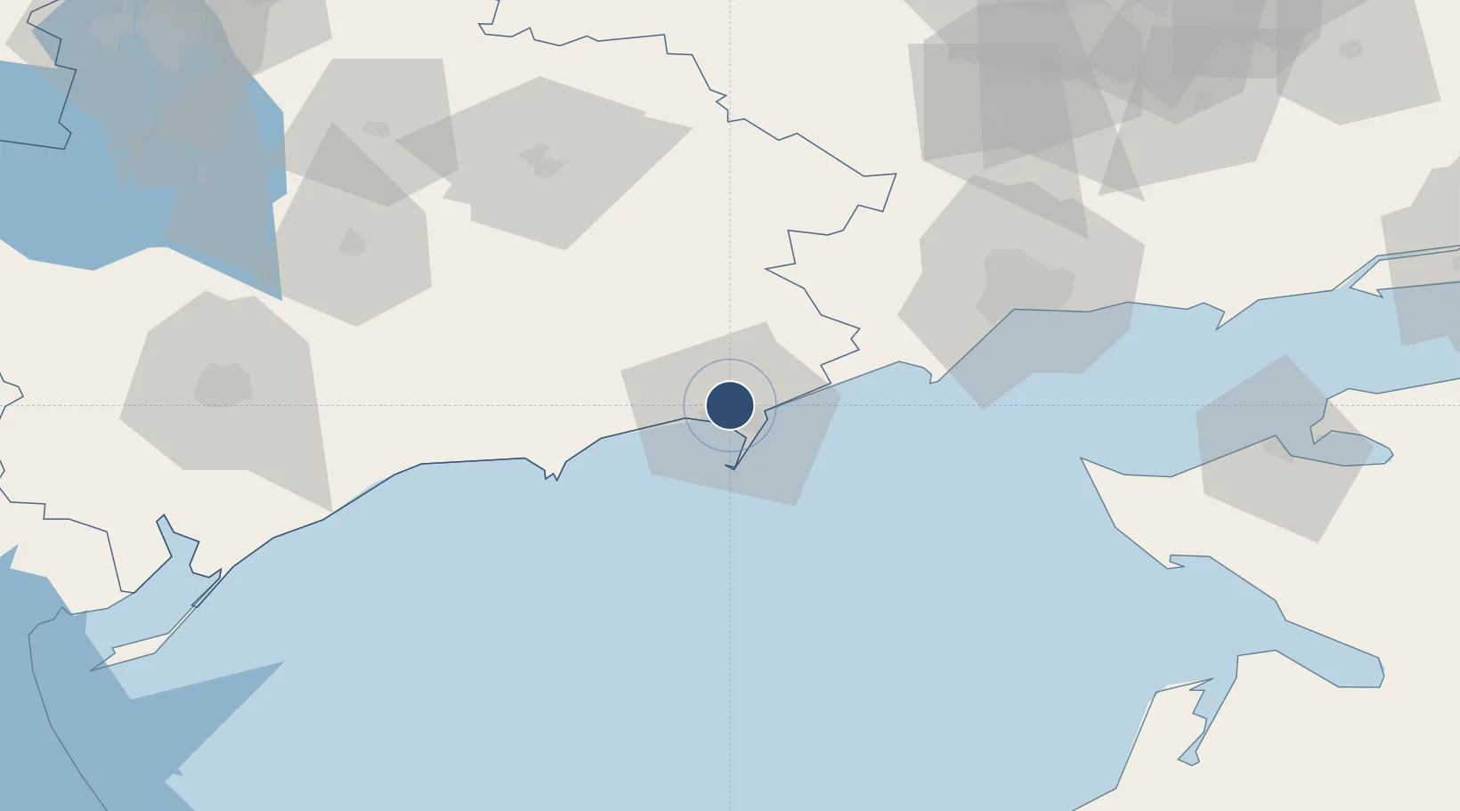
46.8150°, 36.7581°
8,202 ft
Longest runway
1
Runways
171 ft
Elevation
Runway & Layout

Runways · 1
| Runway | Dimensions | Surface | True heading | Lit |
|---|---|---|---|---|
| 09/27 | 8,202 × 157ft | Concrete | 095° | — |
Airport Specifications
IATA code
ERD
ICAO code
UKDB
Airport class
Medium airport
Scheduled service
No
Runway surface
Concrete
Served city
Berdyansk
Location
Nearby Logistics Neighbours
Airports
- 1Mariupol International Airport60 km
- 2Melitopol Air Base111 km
- 3Yeysk Airport112 km
- 4Zaporizhzhia International Airport160 km
- 5Taganrog Yuzhny Airport164 km
Cities
- 1Berdiansk7 km
- 2Mariupol62 km
- 3Polohy84 km
- 4Orikhiv110 km
- 5Plodorodnoye116 km
Ports
- 1Berdyansk8 km
- 2Mariupol68 km
- 3Yeysk115 km
- 4Kerch164 km
- 5Kavkaz Oil Terminal165 km
DatabookThe Record of Consolidated Knowledge
Ukraine beyond logistics?