Transport Functions
Rail
Road
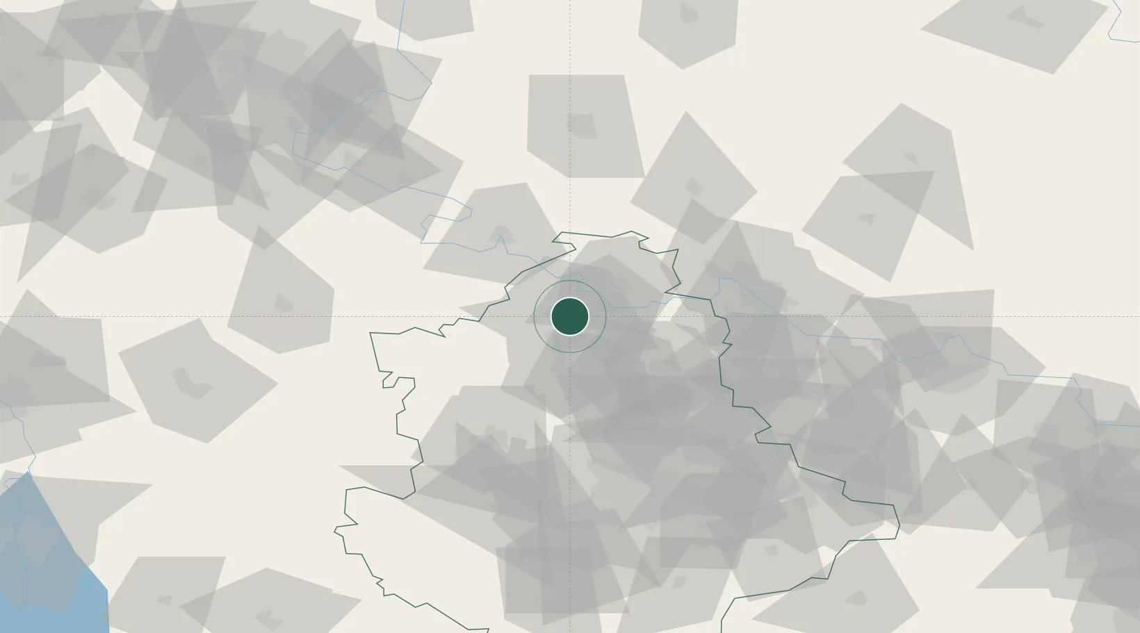
Location
Nearby Logistics Neighbours
Cities
- 1Cherkasskaya15 km
- 2Artemovsk46 km
- 3Severodonetsk68 km
- 4Vuhlehirsk79 km
- 5Alchevs'k98 km
Airports
Trade Zones
DatabookThe Record of Consolidated Knowledge
Ukraine beyond logistics?