UN/LOCODE hub · Ukraine
UAMPW

Mariupol

47.0500°, 37.5000°
120,000
Population
2
Transport functions

Transport Functions

Port
Airport
Mariupol is also a profiled seaport →
UN/LOCODE

Hub Profile

Place type
Populated place
GeoNames
Region
Donetsk
GeoNames
Population
120,000
GeoNames
Time zone
Europe/Kyiv
GeoNames
Elevation
65 m
GeoNames

Location

Location of UAMPW
Natural Earth 10m (public domain) · Donetsk · UAMPW · 47.05, 37.50GoogleOSMYandex

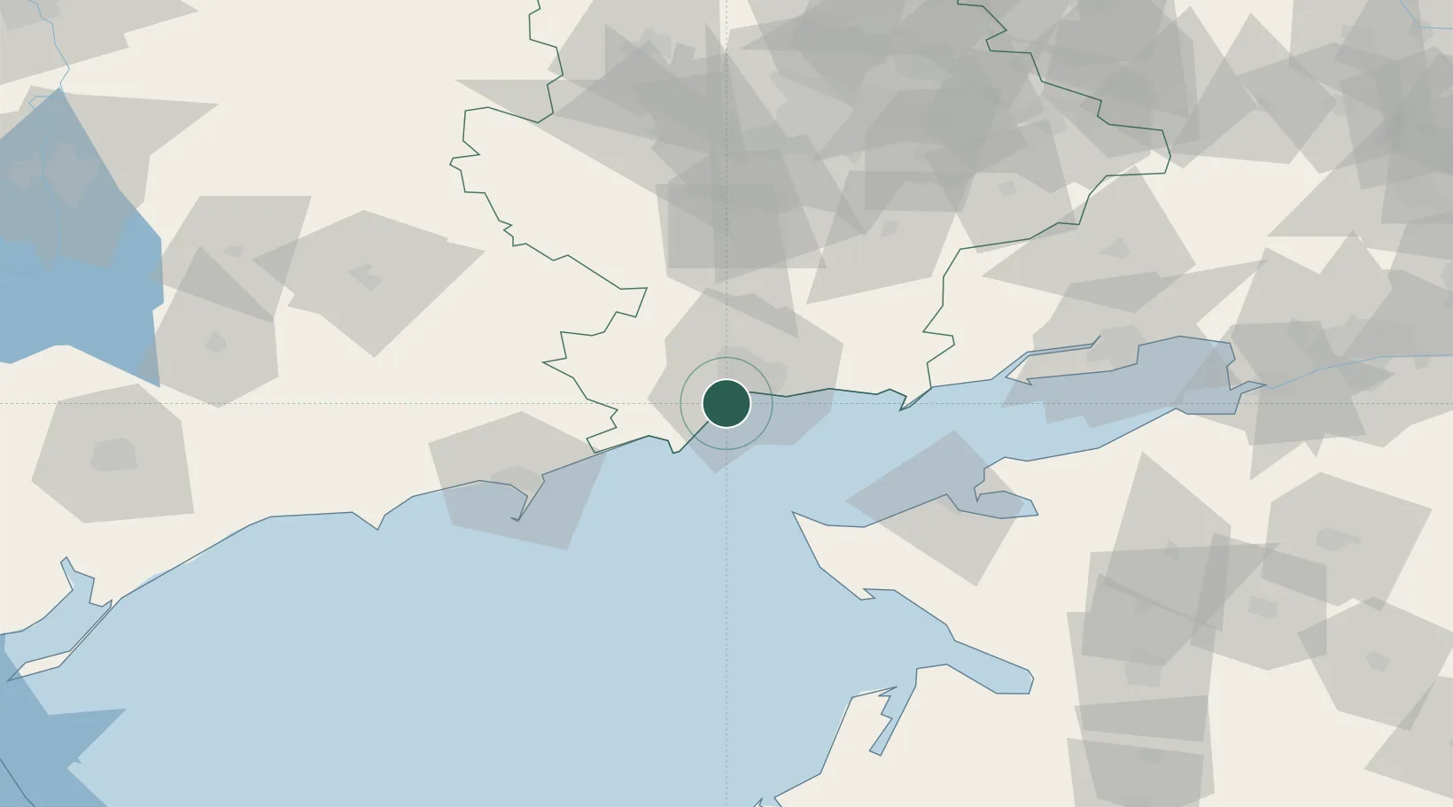
Nearby Logistics Neighbours

Cities
  1. 1Berdiansk65 km
  2. 2Mandrykino97 km
  3. 3Polohy106 km
  4. 4Primorsko-Akhtarsk124 km
  5. 5Orikhiv141 km
Nearest neighbours — logibook spatial index (haversine) over the source coordinates
Ports
  1. 1Berdyansk64 km
  2. 2Yeysk68 km
  3. 3Taganrog111 km
  4. 4Azov147 km
  5. 5Rostov-Na-Donu168 km
Nearest neighbours — logibook spatial index (haversine) over the source coordinates
Airports
  1. 1Mariupol International Airport5 km
  2. 2Berdyansk Airport62 km
  3. 3Yeysk Airport68 km
  4. 4Taganrog Yuzhny Airport103 km
  5. 5Taganrog Tsentralny Air Base104 km
Nearest neighbours — logibook spatial index (haversine) over the source coordinates
DatabookThe Record of Consolidated Knowledge
Ukraine beyond logistics?
Browse databook

All Sources

LocationsUN/LOCODE
UN/LOCODE — free
LocationsGeoNames
CC BY 4.0
Portsthe NGA World Port Index
Public domain (US gov)
AirportsOurAirports
Public domain
Trade Zonesthe World Bank SEZ database
CC BY 4.0
Trade ZonesOpen Zone Map
CC BY
← Ukraine locations