Seaport · Russia

TaganrogRUTAG

47.2000°, 38.9500°
3.4 m
Channel depth
8.1
Port liner connectivity

Channel & Berth Profile

SEA LEVEL (CD)CHANNEL BEDChannel · 3.4 mAnchorage · 3.4 mCargo pier · 3.4 m
NGA World Port Index

Pilotage, Tugs & Services

Pilotage compulsoryYES
Pilotage availableYES
Pilotage advisableYES
Tug assistanceYES
Potable waterYES
MedicalYES
NGA World Port Index

Facilities & Capabilities

Container
Ro-Ro
Liquid bulk
Dry bulk
Oil terminal
Break bulk
Dry dock
RepairsNO
Bunkering
Rail linkYES
Dangerous cargo
ISPS security
NGA World Port Index

Harbour Specifications

Harbour size
Very Small
NGA World Port Index
Harbour type
Coastal (Breakwater)
NGA World Port Index
Shelter
Fair
NGA World Port Index
Water body
Sea of Azov; Black Sea; North Atlantic Ocean
NGA World Port Index
Overhead limit
No
NGA World Port Index
Pilotage
Yes
NGA World Port Index

Liner Connectivity

8.1
PLSCI

Port Liner Shipping Connectivity Index for Taganrog, as published by UNCTAD for the latest available quarter. Higher values indicate stronger scheduled liner-shipping integration.

Shown relative to the highest per-port PLSCI in the dataset (1,657.9).
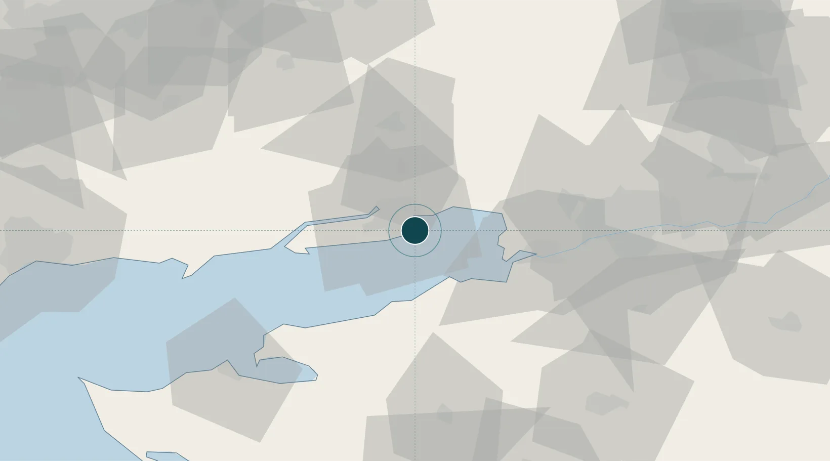
UNCTAD · Port Liner Shipping Connectivity Index

Location

Location of RUTAG
Natural Earth 10m (public domain) · Donets'k · RUTAG · 47.20, 38.95GoogleOSMYandex

Nearby Logistics Neighbours

Ports
  1. 1Azov38 km
  2. 2Rostov-Na-Donu58 km
  3. 3Yeysk73 km
  4. 4Mariupol105 km
  5. 5Berdyansk172 km
Nearest neighbours — logibook spatial index (haversine) over the source coordinates
Cities
  1. 1Rostov-na-Donu58 km
  2. 2Aksay71 km
  3. 3Novoshakhtinsk96 km
  4. 4Kagal'Nitskaya98 km
  5. 5Bessergenevskaya105 km
Nearest neighbours — logibook spatial index (haversine) over the source coordinates
Airports
  1. 1Taganrog Yuzhny Airport8 km
  2. 2Taganrog Tsentralny Air Base10 km
  3. 3Rostov-on-Don Central Air Base53 km
  4. 4Platov International Airport80 km
  5. 5Yeysk Airport81 km
Nearest neighbours — logibook spatial index (haversine) over the source coordinates
Trade Zones
  1. 1Azov Economic Zone104 km
  2. 2Special Economic Zone Donetsk133 km
  3. 3North Caucasus Resort Cluster325 km
  4. 4Free Economic Zone of the Republic of Crimea and the Federal City of Sevastopol552 km
  5. 5Kulevi Free Industrial Zone588 km
Nearest neighbours — logibook spatial index (haversine) over the source coordinates
DatabookThe Record of Consolidated Knowledge
Russia beyond logistics?
Browse databook

All Sources

Portsthe NGA World Port Index
Public domain (US gov)
Logistics performanceUNCTAD
CC BY 3.0 IGO
AirportsOurAirports
Public domain
LocationsUN/LOCODE
UN/LOCODE — free
Trade Zonesthe World Bank SEZ database
CC BY 4.0
Trade ZonesOpen Zone Map
CC BY
← Russia ports