Medium airport · Ukraine

Mariupol International AirportUKCM
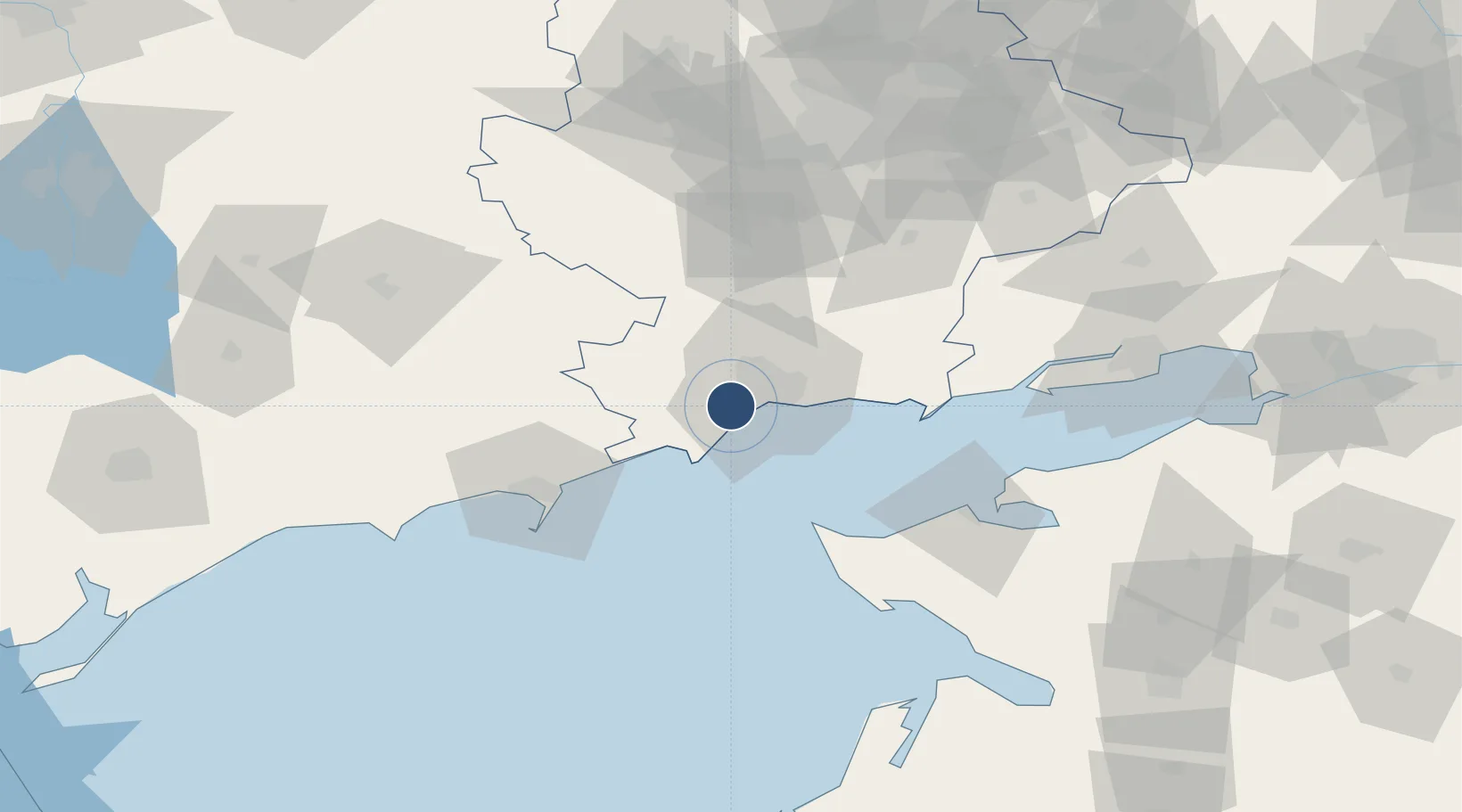
47.0761°, 37.4496°
8,431 ft
Longest runway
2
Runways
251 ft
Elevation

Runway & Layout

Mariupol International Airport runway & taxiway layout
Runway & taxiway layout — OpenStreetMap (ODbL) / OurAirports

Radio Frequencies

TWR
131.5 MHz
OurAirports

Navaids

MRP DME Mariupol 116.20 MHz
OurAirports

Runways · 2

RunwayDimensions SurfaceTrue headingLit
02/20 8,431 × 164ft Asphalt 021°
11/29 4,624 × 280ft Graded earth 112°
OurAirports

Airport Specifications

IATA code
MPW
OurAirports
ICAO code
UKCM
OurAirports
Airport class
Medium airport
OurAirports
Scheduled service
Yes
OurAirports
Runway surface
Asphalt
OurAirports
Served city
Mariupol
OurAirports

Location

Location of UKCM
Natural Earth 10m (public domain) · Donets'k · UKCM · 47.08, 37.45GoogleOSMYandex

Nearby Logistics Neighbours

Airports
  1. 1Berdyansk Airport60 km
  2. 2Yeysk Airport73 km
  3. 3Taganrog Yuzhny Airport107 km
  4. 4Taganrog Tsentralny Air Base107 km
  5. 5Melitopol Air Base164 km
Nearest neighbours — logibook spatial index (haversine) over the source coordinates
Cities
  1. 1Mariupol5 km
  2. 2Berdiansk63 km
  3. 3Mandrykino95 km
  4. 4Polohy101 km
  5. 5Primorsko-Akhtarsk128 km
Nearest neighbours — logibook spatial index (haversine) over the source coordinates
Ports
  1. 1Mariupol9 km
  2. 2Berdyansk62 km
  3. 3Yeysk73 km
  4. 4Taganrog114 km
  5. 5Azov150 km
Nearest neighbours — logibook spatial index (haversine) over the source coordinates
DatabookThe Record of Consolidated Knowledge
Ukraine beyond logistics?
Browse databook

All Sources

AirportsOurAirports
Public domain
Portsthe NGA World Port Index
Public domain (US gov)
LocationsUN/LOCODE
UN/LOCODE — free
Trade Zonesthe World Bank SEZ database
CC BY 4.0
Trade ZonesOpen Zone Map
CC BY
InfrastructureOpenStreetMap
ODbL 1.0
← Ukraine airports