Other Zone · Russia

Free Economic Zone of the Republic of Crimea and the Federal City of Sevastopol Active
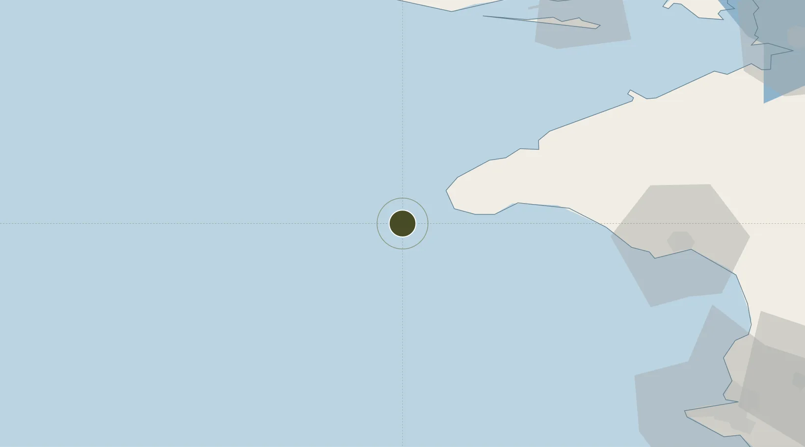
45.2859°, 32.3201°
2,700,000 ha
Zone area
83.8 km
Nearest port
102.5 km
Nearest airport

Gateway access

Nearest neighbours — logibook spatial index (haversine) over the source coordinates

Zone profile

Zone type
Other Zone
Open Zone Map
Status
Active
Open Zone Map
Management
Public
Open Zone Map
Operator
Ministry of Economic Development of the Crimea Republic
Open Zone Map
Legal framework
Federal Law of 29 November 2014 No. 377-FZ
Open Zone Map

Location

Location of ozm-4010
Natural Earth 10m (public domain) · ozm-4010 · 45.29, 32.32GoogleOSMYandex

Nearby Logistics Neighbours

Ports
  1. 1Yevpatoriya84 km
  2. 2Skadovs'k102 km
  3. 3Sevastopol121 km
  4. 4Kherson150 km
  5. 5Yalta171 km
Nearest neighbours — logibook spatial index (haversine) over the source coordinates
Airports
  1. 1Saky Air Base103 km
  2. 2Kacha Air Base113 km
  3. 3Sevastopol International Airport / Belbek Air Base119 km
  4. 4Gvardeyskoye (Hvardiiske) Air Base131 km
  5. 5Simferopol International Airport132 km
Nearest neighbours — logibook spatial index (haversine) over the source coordinates
Cities
  1. 1Krasne99 km
  2. 2Skadovsk101 km
  3. 3Bakhchysarai134 km
  4. 4Armyansk138 km
  5. 5Tsyurupyns'k149 km
Nearest neighbours — logibook spatial index (haversine) over the source coordinates
Trade Zones
  1. 1Porto Franco Special Economic Zone181 km
  2. 2Special Economic Zone Nikolaev (Mykolaiv)190 km
  3. 3Free Zone Sulina213 km
  4. 4Free Enterprise Zone Tvardita278 km
  5. 5Free Enterprise Zone - Production Park Taraclia294 km
Nearest neighbours — logibook spatial index (haversine) over the source coordinates
DatabookThe Record of Consolidated Knowledge
Russia beyond logistics?
Browse databook

All Sources

Trade ZonesOpen Zone Map
CC BY
Portsthe NGA World Port Index
Public domain (US gov)
AirportsOurAirports
Public domain
LocationsUN/LOCODE
UN/LOCODE — free
← Russia trade zones