Transport Functions
Multimodal
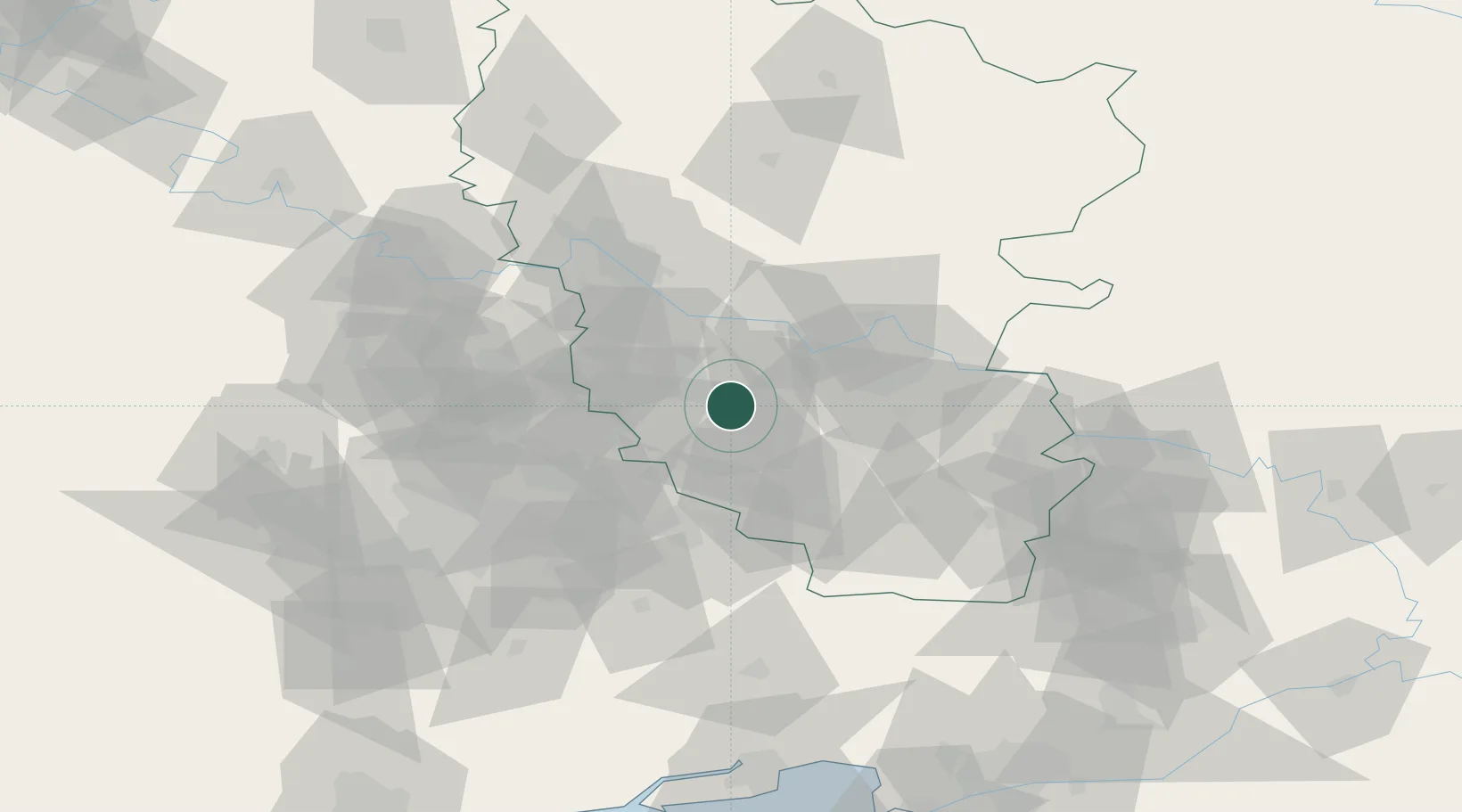
Hub Profile
Place type
Provincial seat
Region
Luhansk
Population
106,062
Time zone
Europe/Kyiv
Elevation
211 m
Location
Nearby Logistics Neighbours
Cities
- 1Vuhlehirsk41 km
- 2Artemovsk54 km
- 3Severodonetsk56 km
- 4Dovzhansk78 km
- 5Donetsk87 km
Ports
- 1Taganrog141 km
- 2Azov160 km
- 3Rostov-Na-Donu161 km
- 4Mariupol179 km
- 5Yeysk197 km
Airports
- 1Millerovo Air Base124 km
- 2Taganrog Tsentralny Air Base136 km
- 3Platov International Airport138 km
- 4Taganrog Yuzhny Airport141 km
- 5Rostov-on-Don Central Air Base147 km
Trade Zones
DatabookThe Record of Consolidated Knowledge
Ukraine beyond logistics?