Channel & Berth Profile
Pilotage, Tugs & Services
Pilotage compulsoryYES
Pilotage availableYES
Tug assistanceYES
Salvage tugsNO
Potable waterYES
Diesel bunkersYES
MedicalYES
Facilities & Capabilities
Container—
Ro-Ro—
Liquid bulk—
Dry bulk—
Oil terminal—
Break bulk—
Dry dock—
RepairsNO
BunkeringYES
Rail linkYES
Dangerous cargo—
ISPS security—
Harbour Specifications
Harbour size
Very Small
Harbour type
River (Natural)
Shelter
Good
Water body
Sea of Azov; Black Sea; North Atlantic Ocean
Overhead limit
Yes
Pilotage
Yes
Liner Connectivity
6.8
PLSCI
Port Liner Shipping Connectivity Index for Azov, as published by UNCTAD for the latest available quarter. Higher values indicate stronger scheduled liner-shipping integration.
Shown relative to the highest per-port PLSCI in the dataset (1,657.9).
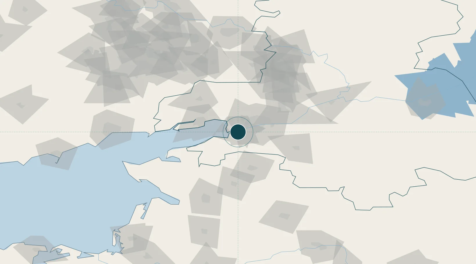
Location
Nearby Logistics Neighbours
Ports
- 1Rostov-Na-Donu23 km
- 2Taganrog38 km
- 3Yeysk98 km
- 4Mariupol141 km
- 5Berdyansk205 km
Cities
- 1Rostov-na-Donu26 km
- 2Aksay38 km
- 3Kagal'Nitskaya60 km
- 4Bessergenevskaya75 km
- 5Bagaevskaya76 km
Airports
- 1Rostov-on-Don Central Air Base25 km
- 2Taganrog Yuzhny Airport46 km
- 3Taganrog Tsentralny Air Base48 km
- 4Platov International Airport57 km
- 5Yeysk Airport104 km
Trade Zones
- 1Azov Economic Zone140 km
- 2Special Economic Zone Donetsk168 km
- 3North Caucasus Resort Cluster362 km
- 4Kulevi Free Industrial Zone565 km
- 5Poti Free Industrial Zone574 km
DatabookThe Record of Consolidated Knowledge
Russia beyond logistics?