Channel & Berth Profile
Pilotage, Tugs & Services
Pilotage compulsoryYES
Pilotage availableYES
Pilotage advisableYES
Local assistanceYES
Tug assistanceYES
Salvage tugsYES
Potable waterYES
MedicalYES
Garbage disposalYES
Facilities & Capabilities
Container—
Ro-Ro—
Liquid bulk—
Dry bulk—
Oil terminal—
Break bulk—
Dry dockNO
RepairsNO
BunkeringYES
Rail linkYES
Dangerous cargo—
ISPS security—
Harbour Specifications
Harbour size
Small
Harbour type
Coastal (Breakwater)
Shelter
Good
Water body
Sea of Azov; Black Sea; North Atlantic Ocean
Overhead limit
No
Pilotage
Yes
Liner Connectivity
16.5
PLSCI
Port Liner Shipping Connectivity Index for Mariupol, as published by UNCTAD for the latest available quarter. Higher values indicate stronger scheduled liner-shipping integration.
Shown relative to the highest per-port PLSCI in the dataset (1,657.9).
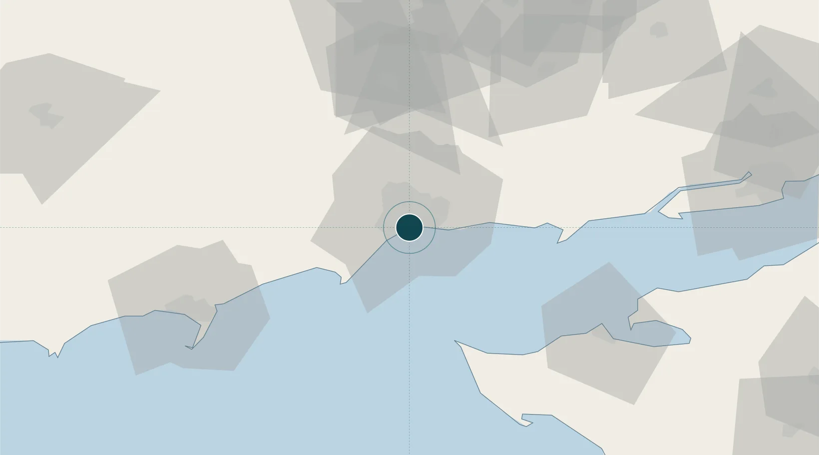
Location
Nearby Logistics Neighbours
Ports
- 1Yeysk66 km
- 2Berdyansk70 km
- 3Taganrog105 km
- 4Azov141 km
- 5Rostov-Na-Donu163 km
Cities
- 1Berdiansk71 km
- 2Mandrykino93 km
- 3Polohy109 km
- 4Primorsko-Akhtarsk125 km
- 5Orikhiv144 km
Airports
- 1Mariupol International Airport9 km
- 2Yeysk Airport66 km
- 3Berdyansk Airport68 km
- 4Taganrog Yuzhny Airport98 km
- 5Taganrog Tsentralny Air Base98 km
DatabookThe Record of Consolidated Knowledge
Ukraine beyond logistics?