Diversified Zone · Ukraine
Special Economic Zone Donetsk Active
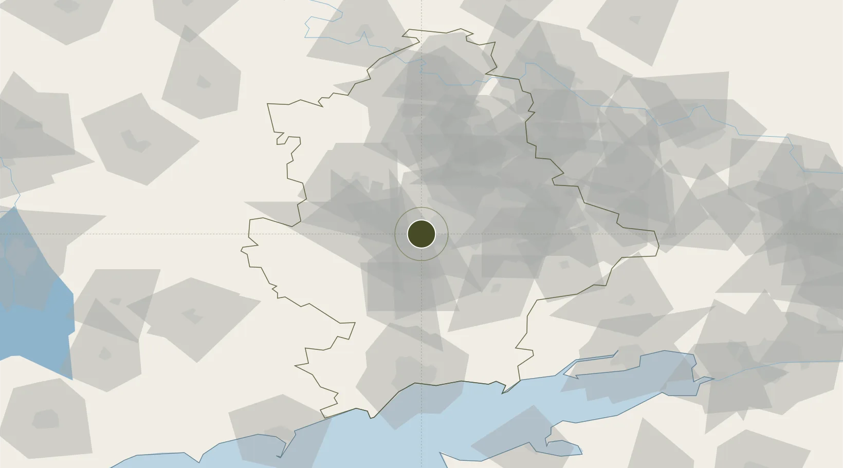
47.9900°, 37.6214°
466 ha
Zone area
100.9 km
Nearest port
102.4 km
Nearest airport
Gateway access
Zone profile
Zone type
Diversified Zone
Region
Donets'k
Status
Active
Management
Public
Operator
City of Donetsk Local Authority
Legal framework
About Special Economic Zones and Special Regime of Investment Activity in Donetsk region (Vidomosti Verkhovnoi Rady Ukrainy (VVR), 1999, N 7, p. 50), Law "On Foreign Economic Activity" No. 960-XII of April 16, 1991, On the General Principles of Creation a
Location
Nearby Logistics Neighbours
Airports
- 1Mariupol International Airport102 km
- 2Taganrog Tsentralny Air Base123 km
- 3Taganrog Yuzhny Airport127 km
- 4Berdyansk Airport146 km
- 5Yeysk Airport152 km
Cities
- 1Mandrykino9 km
- 2Vuhlehirsk61 km
- 3Artemovsk74 km
- 4Cherkasskaya95 km
- 5Slov'yans'k96 km
DatabookThe Record of Consolidated Knowledge
Ukraine beyond logistics?