Transport Functions
Multimodal
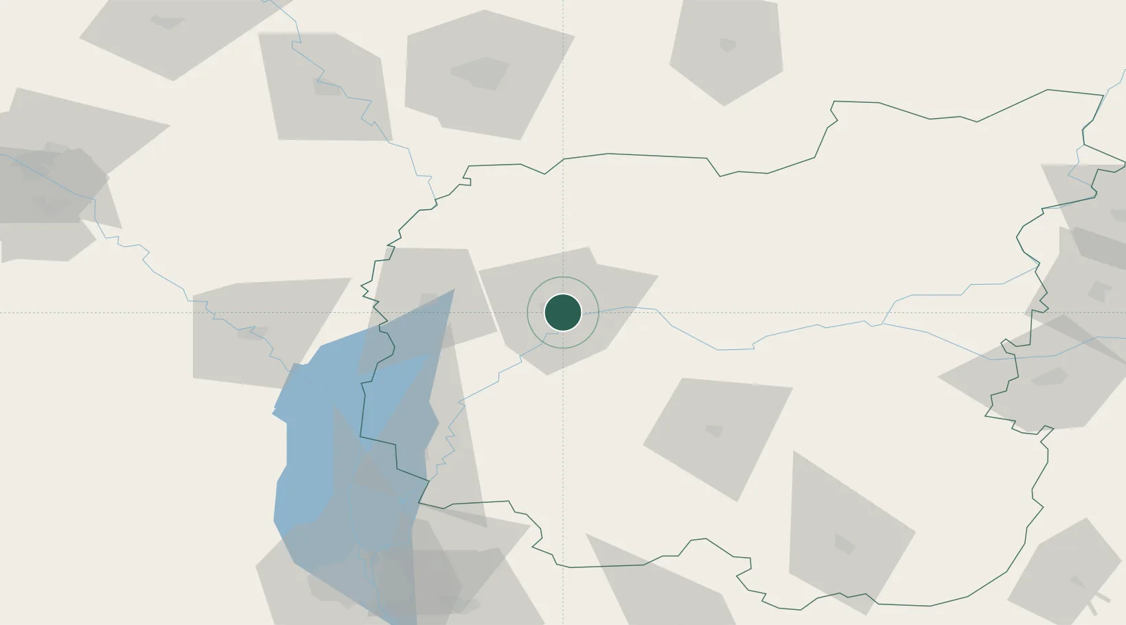
Hub Profile
Place type
Regional capital
Region
Chernihiv
Population
285,234
Time zone
Europe/Kyiv
Elevation
106 m
Location
Nearby Logistics Neighbours
Cities
- 1Volynskiy4 km
- 2Ripky37 km
- 3Mena64 km
- 4Nizhyn64 km
- 5Bobrovitsa84 km
Ports
- 1Mykolayiv508 km
- 2Port Oktyabrsk521 km
- 3Yuzhnyy545 km
- 4Kherson551 km
- 5Odesa559 km
Airports
- 1Nizhyn Air Base61 km
- 2Gomel Airport116 km
- 3Hostomel Airport126 km
- 4Boryspil International Airport132 km
- 5Ihor Sikorsky Kyiv International Airport (Zhuliany)136 km
Trade Zones
DatabookThe Record of Consolidated Knowledge
Ukraine beyond logistics?