UN/LOCODE hub · Ukraine
UAVOL

Volynskiy

51.5333°, 31.3167°
1
Transport functions

Transport Functions

Multimodal
UN/LOCODE

Hub Profile

Region
74
GeoNames

Location

Location of UAVOL
Natural Earth 10m (public domain) · 74 · UAVOL · 51.53, 31.32GoogleOSMYandex

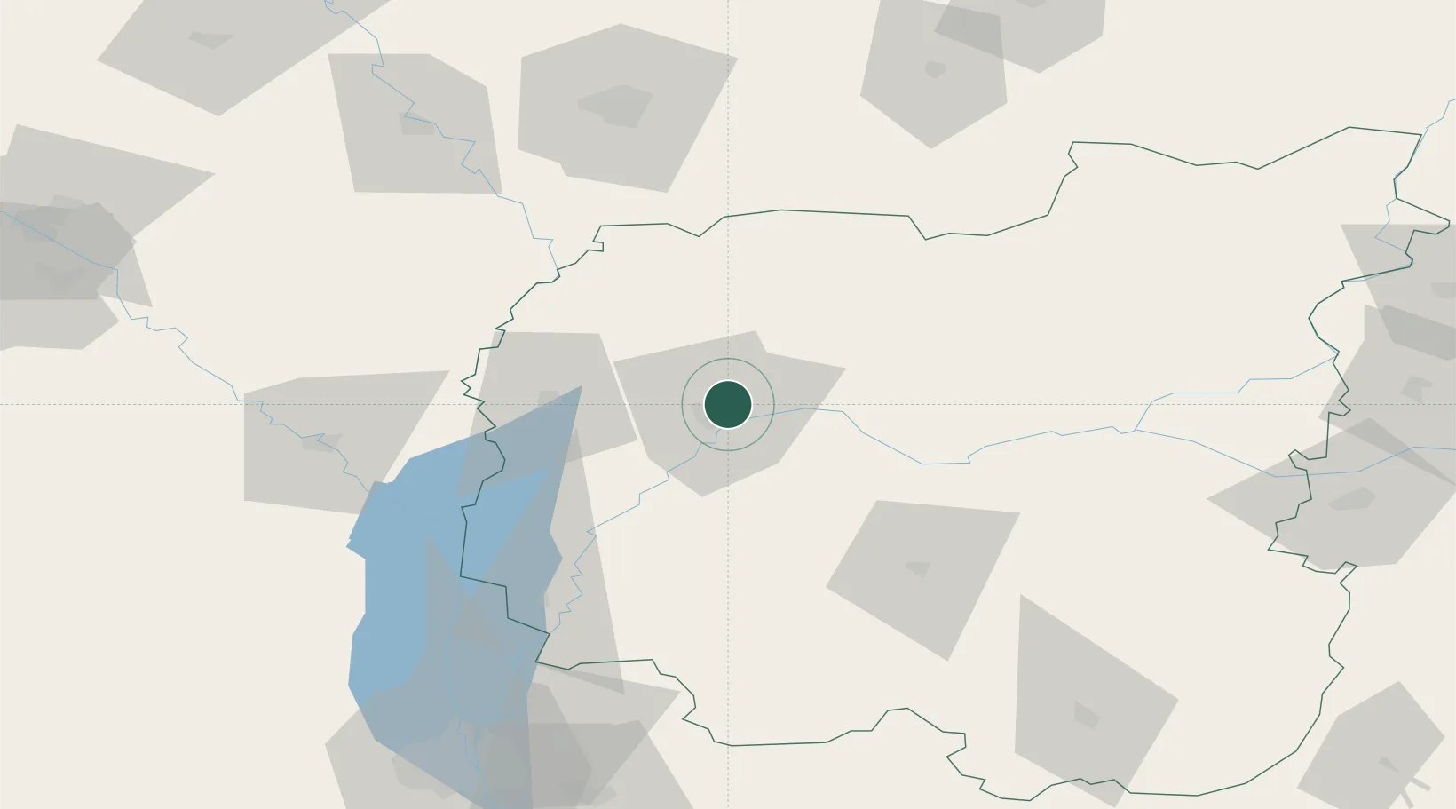
Nearby Logistics Neighbours

Cities
  1. 1Chernihiv4 km
  2. 2Ripky34 km
  3. 3Mena62 km
  4. 4Nizhyn67 km
  5. 5Bobrovitsa87 km
Nearest neighbours — logibook spatial index (haversine) over the source coordinates
Ports
  1. 1Mykolayiv512 km
  2. 2Port Oktyabrsk525 km
  3. 3Yuzhnyy549 km
  4. 4Kherson555 km
  5. 5Odesa563 km
Nearest neighbours — logibook spatial index (haversine) over the source coordinates
Airports
  1. 1Nizhyn Air Base63 km
  2. 2Gomel Airport112 km
  3. 3Hostomel Airport130 km
  4. 4Boryspil International Airport135 km
  5. 5Ihor Sikorsky Kyiv International Airport (Zhuliany)140 km
Nearest neighbours — logibook spatial index (haversine) over the source coordinates
Trade Zones
  1. 1Slavutych Special Economic Zone40 km
  2. 2Free Economic Zone Gomel-Raton97 km
  3. 3Free Economic Zone Mogiliov236 km
  4. 4Bremino-Orsha Special Economic Zone329 km
  5. 5Lyudinovsky Special Economic Zone - Industrial333 km
Nearest neighbours — logibook spatial index (haversine) over the source coordinates
DatabookThe Record of Consolidated Knowledge
Ukraine beyond logistics?
Browse databook

All Sources

LocationsUN/LOCODE
UN/LOCODE — free
Portsthe NGA World Port Index
Public domain (US gov)
AirportsOurAirports
Public domain
Trade Zonesthe World Bank SEZ database
CC BY 4.0
Trade ZonesOpen Zone Map
CC BY
← Ukraine locations