Export Processing Zone · Tanzania

Tairo Export Processing Zone Active
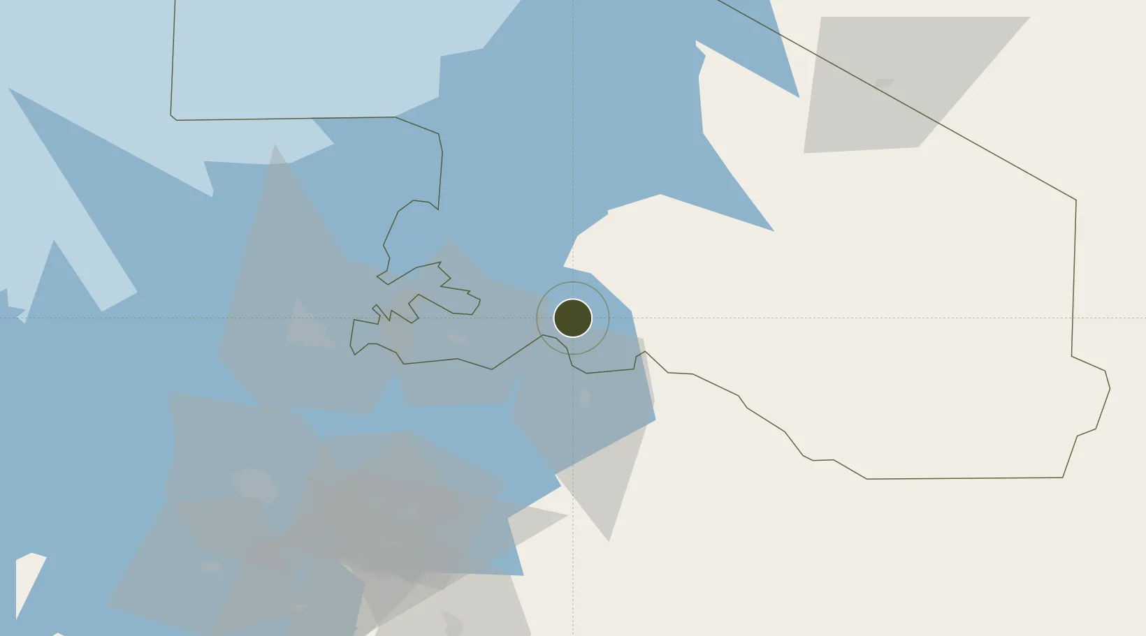
-2.0388°, 33.8333°
3,000 ha
Zone area
677.0 km
Nearest port
59.7 km
Nearest airport

Gateway access

Nearest neighbours — logibook spatial index (haversine) over the source coordinates

Zone profile

Zone type
Export Processing Zone
Open Zone Map
Region
Mara
Open Zone Map
Status
Active
Open Zone Map
Management
Public
Open Zone Map
Operator
Export Processing Zone Authority
Open Zone Map
Legal framework
Special Economic Zones Act of 2006
Open Zone Map

Location

Location of ozm-4430
Natural Earth 10m (public domain) · Mara · ozm-4430 · -2.04, 33.83GoogleOSMYandex

Nearby Logistics Neighbours

Ports
  1. 1Tanga677 km
  2. 2Mombasa686 km
  3. 3Kilifi693 km
  4. 4Malindi712 km
  5. 5Zanzibar750 km
Nearest neighbours — logibook spatial index (haversine) over the source coordinates
Airports
  1. 1Musoma Airport60 km
  2. 2Mwanza International Airport110 km
  3. 3Seronera Airport119 km
  4. 4Mara Serena Lodge Airstrip148 km
  5. 5Shinyanga Airport178 km
Nearest neighbours — logibook spatial index (haversine) over the source coordinates
Cities
  1. 1Mwanza117 km
  2. 2Siaya239 km
  3. 3Mukono292 km
  4. 4Malaba299 km
  5. 5Bungoma301 km
Nearest neighbours — logibook spatial index (haversine) over the source coordinates
Trade Zones
  1. 1Bunda Export Processing Zone0 km
  2. 2Kilengula Export Processing Zone118 km
  3. 3Usagara Export Processing Zone119 km
  4. 4Kisumu Special Economic Zone254 km
  5. 5Lake Victoria Free Trade Zone (Sseesamirembe City)288 km
Nearest neighbours — logibook spatial index (haversine) over the source coordinates
DatabookThe Record of Consolidated Knowledge
Tanzania beyond logistics?
Browse databook

All Sources

Trade ZonesOpen Zone Map
CC BY
Portsthe NGA World Port Index
Public domain (US gov)
AirportsOurAirports
Public domain
LocationsUN/LOCODE
UN/LOCODE — free
← Tanzania trade zones