Transport Functions
Rail
Road
Hub Profile
Place type
Populated place
Region
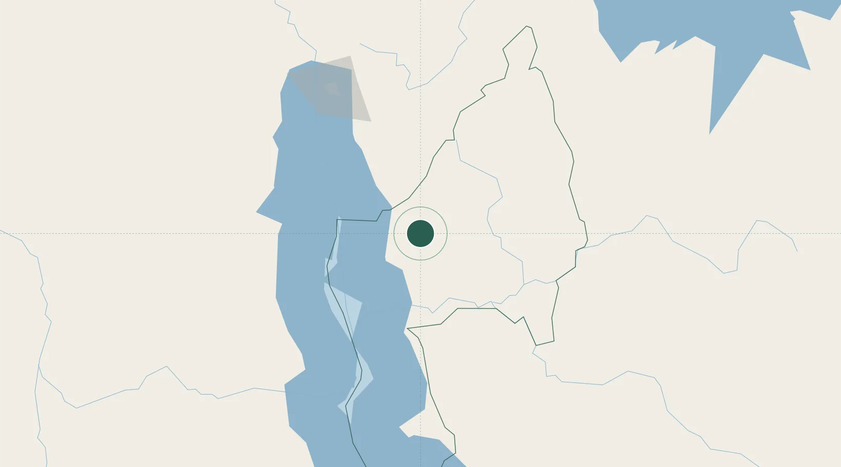
Kigoma
Population
238,321
Time zone
Africa/Dar_es_Salaam
Elevation
1,310 m
Location
Nearby Logistics Neighbours
Ports
- 1Tanga1001 km
- 2Zanzibar1021 km
- 3Dar Es Salaam1048 km
- 4Mombasa1062 km
- 5Kilifi1088 km
Airports
- 1Kigoma Airport59 km
- 2Gitega Airport130 km
- 3Bujumbura Melchior Ndadaye International Airport163 km
- 4Kalemie Airport173 km
- 5Kirundo Airport225 km
Trade Zones
- 1Kigoma Special Economic Zone60 km
- 2Warubonda Special Economic Zone167 km
- 3Huye Industrial Park224 km
- 4Rusizi Industrial Park249 km
- 5Bugesera Industrial Park270 km
DatabookThe Record of Consolidated Knowledge
Tanzania beyond logistics?