Medium airport · Burundi
Gitega AirportHBBE
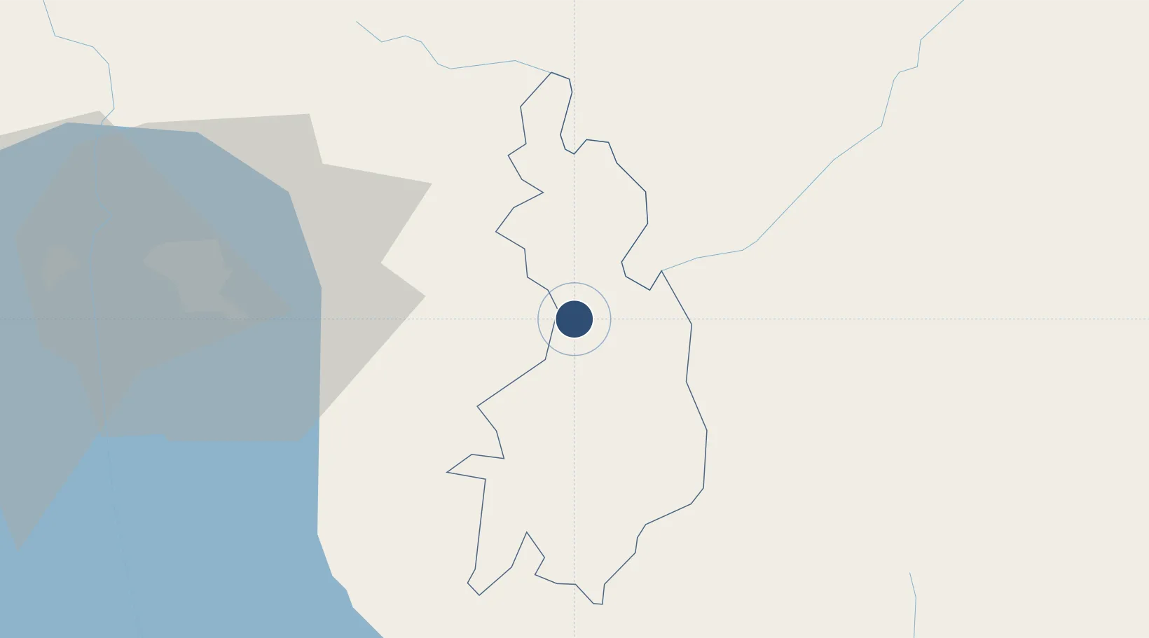
-3.4172°, 29.9113°
3,248 ft
Longest runway
1
Runways
5,741 ft
Elevation
Runway & Layout

Navaids
GI NDB Gitega 360 kHz
Runways · 1
| Runway | Dimensions | Surface | True heading | Lit |
|---|---|---|---|---|
| 12/30 | 3,248 × 66ft | Dirt | — | — |
Airport Specifications
IATA code
GID
ICAO code
HBBE
Airport class
Medium airport
Scheduled service
Yes
Runway surface
Dirt
Served city
Gitega
Location
Nearby Logistics Neighbours
Airports
- 1Bujumbura Melchior Ndadaye International Airport67 km
- 2Kirundo Airport99 km
- 3Kamembe Airport154 km
- 4Kigali International Airport163 km
- 5Kigoma Airport166 km
Ports
- 1Tanga1037 km
- 2Zanzibar1072 km
- 3Mombasa1085 km
- 4Kilifi1105 km
- 5Dar Es Salaam1106 km
Trade Zones
- 1Warubonda Special Economic Zone74 km
- 2Huye Industrial Park95 km
- 3Rusizi Industrial Park134 km
- 4Bugesera Industrial Park144 km
- 5Muhanga Industrial Park148 km
DatabookThe Record of Consolidated Knowledge
Burundi beyond logistics?