Small airport · Burundi
Kirundo AirportHBBO
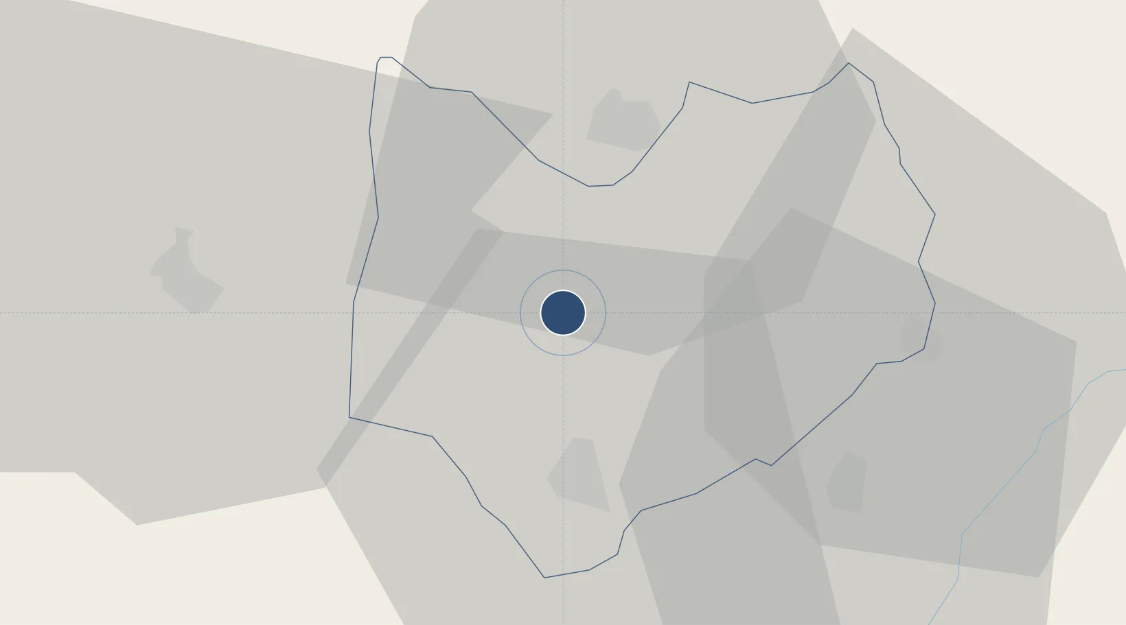
-2.5448°, 30.0946°
3,281 ft
Longest runway
1
Runways
4,511 ft
Elevation
Runway & Layout

Runways · 1
| Runway | Dimensions | Surface | True heading | Lit |
|---|---|---|---|---|
| 12/30 | 3,281 × —ft | grass | — | — |
Airport Specifications
IATA code
KRE
ICAO code
HBBO
Airport class
Small airport
Scheduled service
Yes
Runway surface
grass
Served city
Kirundo
Location
Nearby Logistics Neighbours
Airports
- 1Kigali International Airport64 km
- 2Gitega Airport99 km
- 3Bujumbura Melchior Ndadaye International Airport122 km
- 4Kamembe Airport132 km
- 5Gisenyi Airport134 km
Trade Zones
- 1Bugesera Industrial Park45 km
- 2Huye Industrial Park46 km
- 3Muhanga Industrial Park63 km
- 4Kicukiro SME Park64 km
- 5Kigali Special Economic Zone66 km
DatabookThe Record of Consolidated Knowledge
Burundi beyond logistics?