Small airport · Tanzania
Kigoma AirportHTKA
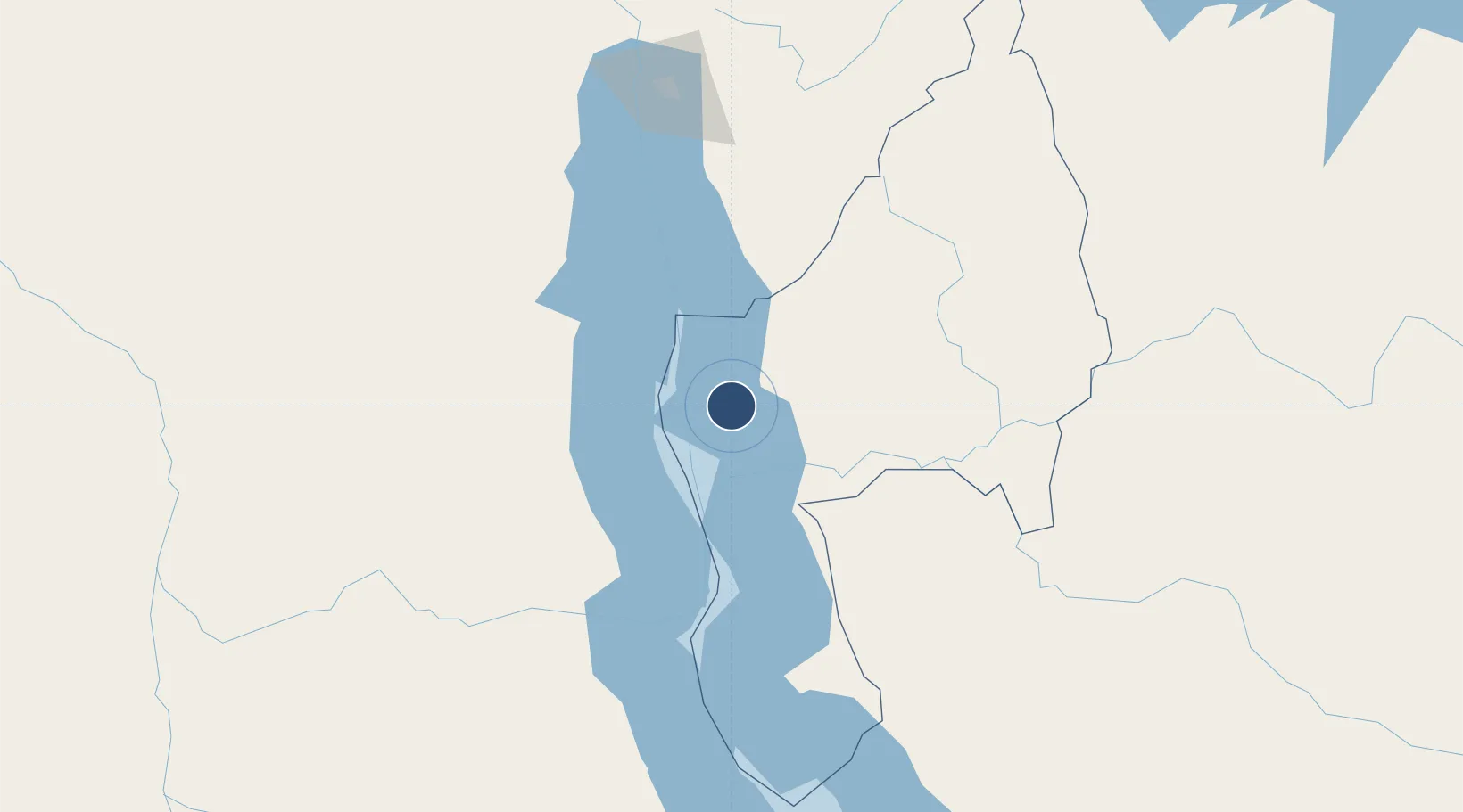
-4.8862°, 29.6709°
5,797 ft
Longest runway
1
Runways
2,700 ft
Elevation
Runway & Layout

Navaids
KG NDB Kigoma 394 kHz
Runways · 1
| Runway | Dimensions | Surface | True heading | Lit |
|---|---|---|---|---|
| 16/34 | 5,797 × —ft | Unknown | — | — |
Airport Specifications
IATA code
TKQ
ICAO code
HTKA
Airport class
Small airport
Scheduled service
Yes
Runway surface
Unknown
Served city
Kigoma
Location
Nearby Logistics Neighbours
Airports
- 1Kalemie Airport120 km
- 2Gitega Airport166 km
- 3Bujumbura Melchior Ndadaye International Airport178 km
- 4Kirundo Airport265 km
- 5Kamembe Airport283 km
Ports
- 1Tanga1047 km
- 2Zanzibar1062 km
- 3Dar Es Salaam1087 km
- 4Mombasa1112 km
- 5Kilifi1139 km
Trade Zones
- 1Kigoma Special Economic Zone4 km
- 2Warubonda Special Economic Zone179 km
- 3Huye Industrial Park255 km
- 4Rusizi Industrial Park263 km
- 5Bugesera Industrial Park309 km
DatabookThe Record of Consolidated Knowledge
Tanzania beyond logistics?