Export Processing Zone · Rwanda

Huye Industrial Park Under Development
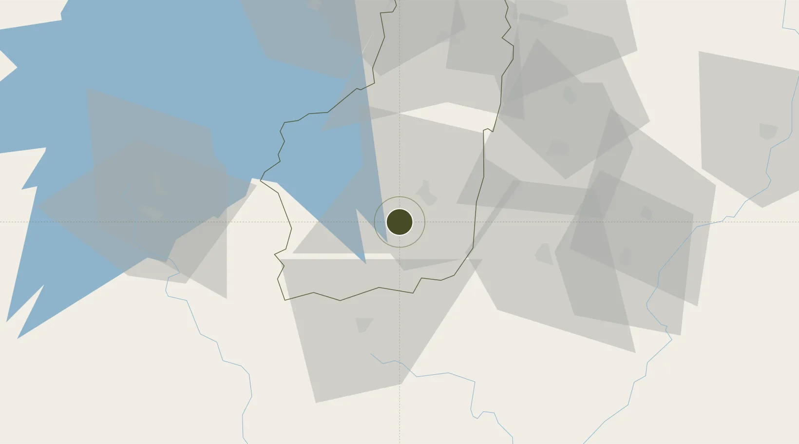
-2.5940°, 29.6802°
50 ha
Zone area
1,082.8 km
Nearest port
46.3 km
Nearest airport

Gateway access

Nearest neighbours — logibook spatial index (haversine) over the source coordinates

Zone profile

Zone type
Export Processing Zone
Open Zone Map
Region
Southern
Open Zone Map
Status
Under Development
Open Zone Map
Management
Public-Private Partnership
Open Zone Map
Operator
Rwanda Development Board, TECOS Ltd.
Open Zone Map
Legal framework
Law No. 05/2011 of Regulating Special Economic Zones in Rwanda
Open Zone Map

Location

Location of ozm-4033
Natural Earth 10m (public domain) · Southern · ozm-4033 · -2.59, 29.68GoogleOSMYandex

Nearby Logistics Neighbours

Ports
  1. 1Tanga1083 km
  2. 2Mombasa1121 km
  3. 3Zanzibar1126 km
  4. 4Kilifi1137 km
  5. 5Malindi1163 km
Nearest neighbours — logibook spatial index (haversine) over the source coordinates
Airports
  1. 1Kirundo Airport46 km
  2. 2Kigali International Airport86 km
  3. 3Kamembe Airport87 km
  4. 4Bujumbura Melchior Ndadaye International Airport91 km
  5. 5Gitega Airport95 km
Nearest neighbours — logibook spatial index (haversine) over the source coordinates
Cities
  1. 1Cibitoke89 km
  2. 2Mutara111 km
  3. 3Kibondo159 km
  4. 4Nyagatare162 km
  5. 5Kasulu224 km
Nearest neighbours — logibook spatial index (haversine) over the source coordinates
Trade Zones
  1. 1Muhanga Industrial Park56 km
  2. 2Bugesera Industrial Park69 km
  3. 3Rusizi Industrial Park74 km
  4. 4Musanze Industrial Park78 km
  5. 5Kicukiro SME Park83 km
Nearest neighbours — logibook spatial index (haversine) over the source coordinates
DatabookThe Record of Consolidated Knowledge
Rwanda beyond logistics?
Browse databook

All Sources

Trade ZonesOpen Zone Map
CC BY
Portsthe NGA World Port Index
Public domain (US gov)
AirportsOurAirports
Public domain
LocationsUN/LOCODE
UN/LOCODE — free
← Rwanda trade zones