Medium airport · Congo - Kinshasa
Kalemie AirportFZRF
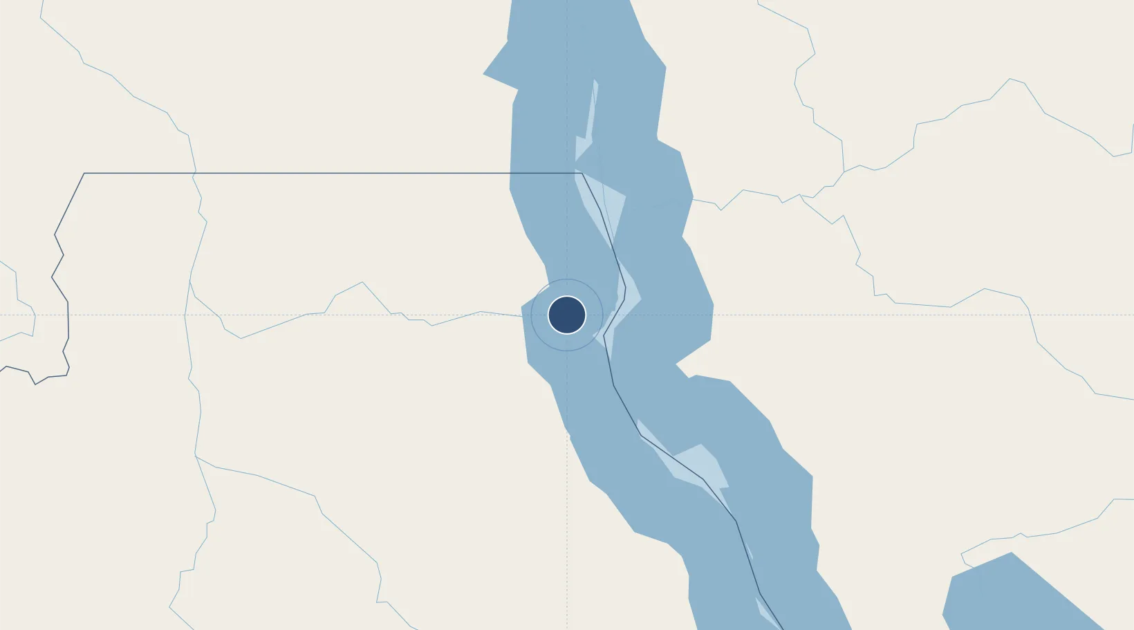
-5.8756°, 29.2500°
5,741 ft
Longest runway
1
Runways
2,569 ft
Elevation
Runway & Layout

Radio Frequencies
TWR
118.1 MHz
Navaids
KMI VOR Kalemie 116.30 MHz
KMI NDB Kalemie 261 kHz
Runways · 1
| Runway | Dimensions | Surface | True heading | Lit |
|---|---|---|---|---|
| 06/24 | 5,741 × 98ft | Asphalt | 058° | — |
Airport Specifications
IATA code
FMI
ICAO code
FZRF
Airport class
Medium airport
Scheduled service
Yes
Runway surface
Asphalt
Served city
Kalemie
Location
Nearby Logistics Neighbours
Airports
- 1Kigoma Airport120 km
- 2Gitega Airport283 km
- 3Bujumbura Melchior Ndadaye International Airport284 km
- 4Kamembe Airport381 km
- 5Kirundo Airport382 km
Ports
- 1Tanga1096 km
- 2Zanzibar1099 km
- 3Dar Es Salaam1116 km
- 4Kilwa Kivinje1165 km
- 5Mombasa1171 km
Trade Zones
- 1Kigoma Special Economic Zone117 km
- 2Manono Special Economic Zone251 km
- 3Warubonda Special Economic Zone283 km
- 4Rusizi Industrial Park364 km
- 5Huye Industrial Park368 km
DatabookThe Record of Consolidated Knowledge
Congo - Kinshasa beyond logistics?