Export Processing Zone · Tanzania

Kigoma Special Economic Zone Active
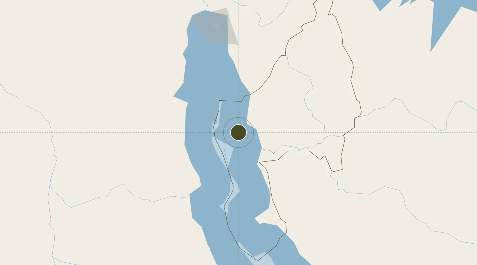
-4.9194°, 29.6876°
2,000 ha
Zone area
1,044.6 km
Nearest port
4.1 km
Nearest airport

Gateway access

Nearest neighbours — logibook spatial index (haversine) over the source coordinates

Zone profile

Zone type
Export Processing Zone
Open Zone Map
Region
Kigoma
Open Zone Map
Status
Active
Open Zone Map
Management
Public
Open Zone Map
Operator
Export Processing Zone Authority
Open Zone Map
Legal framework
Special Economic Zones Act of 2006
Open Zone Map

Location

Location of ozm-4417
Natural Earth 10m (public domain) · Kigoma · ozm-4417 · -4.92, 29.69GoogleOSMYandex

Nearby Logistics Neighbours

Ports
  1. 1Tanga1045 km
  2. 2Zanzibar1060 km
  3. 3Dar Es Salaam1084 km
  4. 4Mombasa1110 km
  5. 5Kilifi1138 km
Nearest neighbours — logibook spatial index (haversine) over the source coordinates
Airports
  1. 1Kigoma Airport4 km
  2. 2Kalemie Airport117 km
  3. 3Gitega Airport169 km
  4. 4Bujumbura Melchior Ndadaye International Airport182 km
  5. 5Kirundo Airport268 km
Nearest neighbours — logibook spatial index (haversine) over the source coordinates
Cities
  1. 1Kasulu60 km
  2. 2Kasulu60 km
  3. 3Kagera113 km
  4. 4Cibitoke180 km
  5. 5Kibondo187 km
Nearest neighbours — logibook spatial index (haversine) over the source coordinates
Trade Zones
  1. 1Warubonda Special Economic Zone184 km
  2. 2Huye Industrial Park259 km
  3. 3Rusizi Industrial Park267 km
  4. 4Bugesera Industrial Park313 km
  5. 5Muhanga Industrial Park314 km
Nearest neighbours — logibook spatial index (haversine) over the source coordinates
DatabookThe Record of Consolidated Knowledge
Tanzania beyond logistics?
Browse databook

All Sources

Trade ZonesOpen Zone Map
CC BY
Portsthe NGA World Port Index
Public domain (US gov)
AirportsOurAirports
Public domain
LocationsUN/LOCODE
UN/LOCODE — free
← Tanzania trade zones