Export Processing Zone · Rwanda
Rusizi Industrial Park Under Development
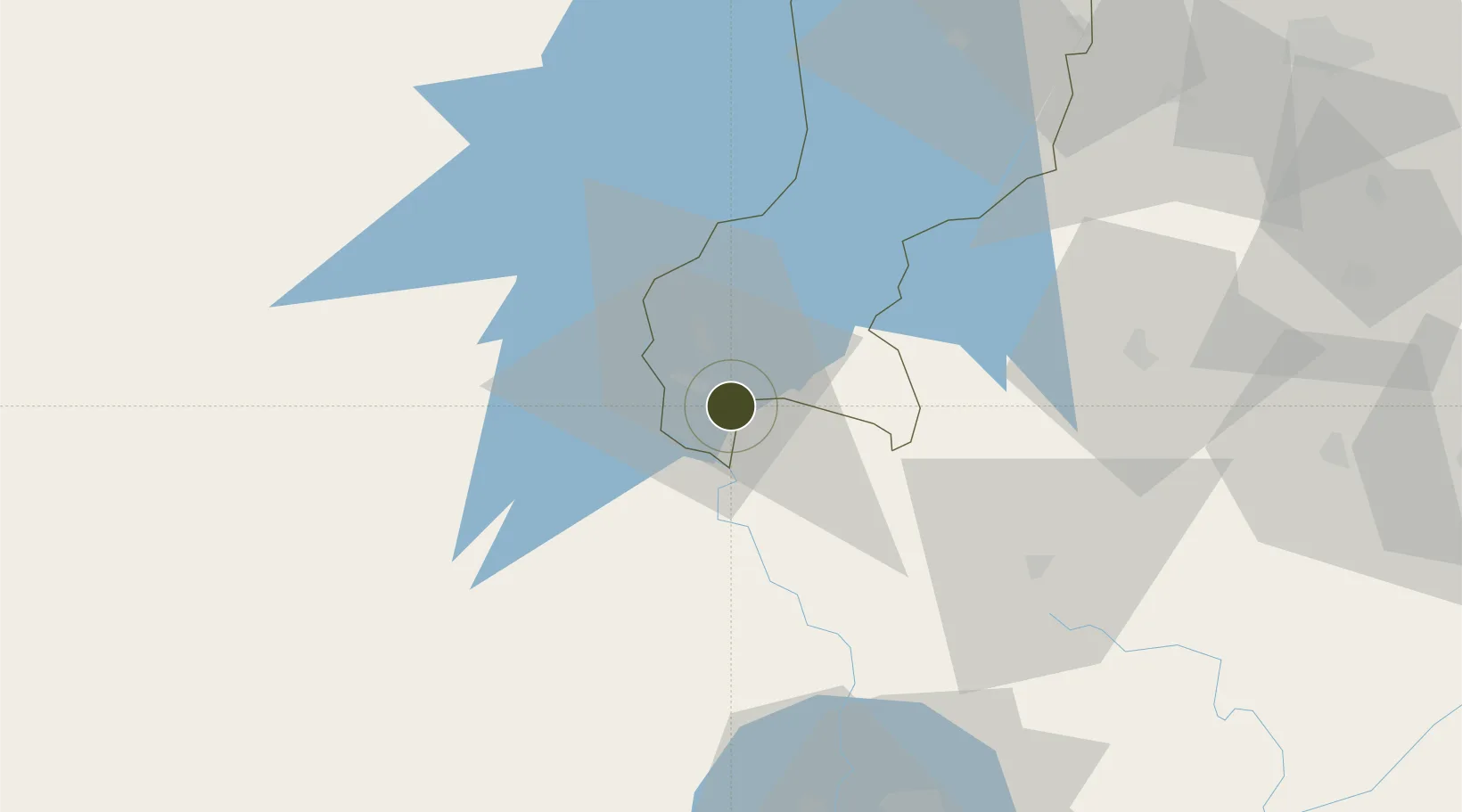
-2.6094°, 29.0180°
45 ha
Zone area
1,153.6 km
Nearest port
20.4 km
Nearest airport
Gateway access
Zone profile
Zone type
Export Processing Zone
Region
Western
Status
Under Development
Management
Public-Private Partnership
Operator
Rwanda Development Board, TECOS Ltd.
Legal framework
Law No. 05/2011 of Regulating Special Economic Zones in Rwanda
Location
Nearby Logistics Neighbours
Ports
- 1Tanga1154 km
- 2Mombasa1193 km
- 3Zanzibar1194 km
- 4Kilifi1210 km
- 5Dar Es Salaam1232 km
Airports
- 1Kamembe Airport20 km
- 2Bukavu Kavumu Airport41 km
- 3Bujumbura Melchior Ndadaye International Airport86 km
- 4Gisenyi Airport107 km
- 5Goma International Airport108 km
Trade Zones
- 1Huye Industrial Park74 km
- 2Warubonda Special Economic Zone84 km
- 3Muhanga Industrial Park100 km
- 4Musanze Industrial Park114 km
- 5Nyabihu Industrial Park124 km
DatabookThe Record of Consolidated Knowledge
Rwanda beyond logistics?