UN/LOCODE hub · Taiwan
TWTXG
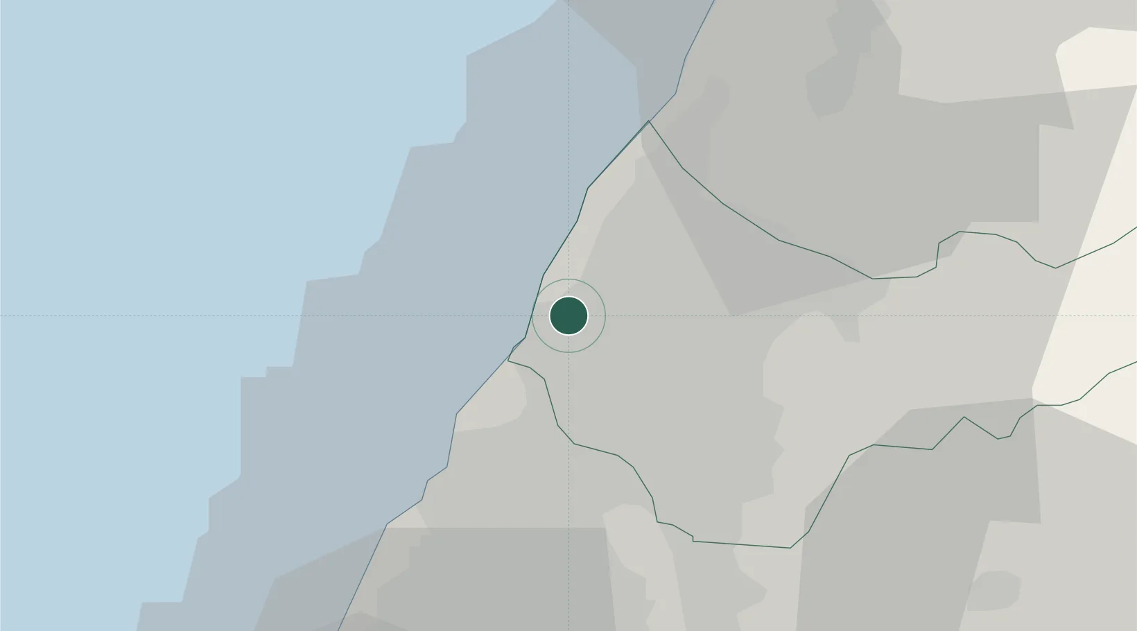
Taichung
24.2538°, 120.5383°
2,850,285
Population
2
Transport functions
3
Container terminals
Transport Functions
Port
Airport
Hub Profile
Place type
Provincial seat
Region
Taiwan
Population
2,850,285
Time zone
Asia/Taipei
Elevation
91 m
Logistics facilities
23
Container terminals
3
Location
Nearby Logistics Neighbours
Cities
- 1Feng-yüan-ch'ü18 km
- 2Wu-jih19 km
- 3Chang-Hua21 km
- 4Nantou42 km
- 5Miao-li43 km
Ports
- 1Mailiao65 km
- 2Hua-Lien Kang112 km
- 3Peng-Hu Kang127 km
- 4Tan-Shui135 km
- 5Su-Ao140 km
Airports
DatabookThe Record of Consolidated Knowledge
Taiwan beyond logistics?