Free Trade Zone · Taiwan

Taoyuan International Airport Free Trade Zone Active
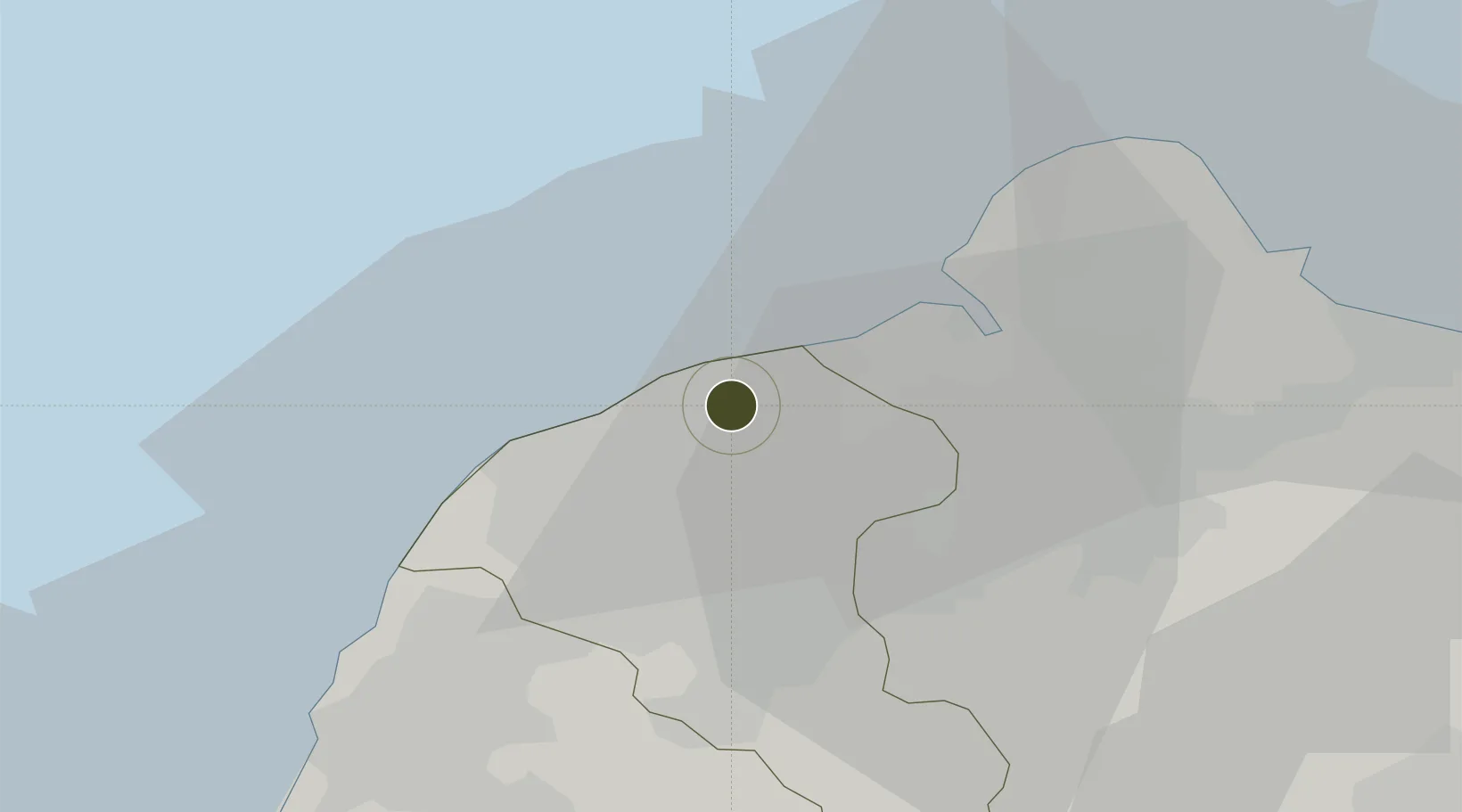
25.0773°, 121.2319°
35 ha
Zone area
20.6 km
Nearest port
0.1 km
Nearest airport

Gateway access

Nearest neighbours — logibook spatial index (haversine) over the source coordinates

Zone profile

Zone type
Free Trade Zone
Open Zone Map
Region
Taoyuan
Open Zone Map
Status
Active
Open Zone Map
Management
Public-Private Partnership
Open Zone Map
Operator
Farglory Free Trade Zone Investment Holding Co., Ltd
Open Zone Map
Legal framework
Act for the Establishment and Management of Free Trade zones
Open Zone Map

Location

Location of ozm-4393
Natural Earth 10m (public domain) · Taoyuan · ozm-4393 · 25.08, 121.23GoogleOSMYandex

Nearby Logistics Neighbours

Ports
  1. 1Tan-Shui21 km
  2. 2Chi-Lung54 km
  3. 3Su-Ao83 km
  4. 4Tai-Chung Kang114 km
  5. 5Hua-Lien Kang127 km
Nearest neighbours — logibook spatial index (haversine) over the source coordinates
Airports
  1. 1Taiwan Taoyuan International Airport0 km
  2. 2Longtan Air Base25 km
  3. 3Taipei Songshan International Airport32 km
  4. 4Hsinchu Air Base41 km
  5. 5Taichung International Airport / Ching Chuang Kang Air Base109 km
Nearest neighbours — logibook spatial index (haversine) over the source coordinates
Cities
  1. 1Sha-lun3 km
  2. 2Taoyuan12 km
  3. 3Bade City15 km
  4. 4Bali19 km
  5. 5Hukou27 km
Nearest neighbours — logibook spatial index (haversine) over the source coordinates
Trade Zones
  1. 1Port Of Taipei Free Trade Zone17 km
  2. 2Port Of Keelung Free Trade Zone53 km
  3. 3Port Of Suao Free Trade Zone84 km
  4. 4Taichung Export Processing Zone110 km
  5. 5Port Of Taichung Free Trade Zone114 km
Nearest neighbours — logibook spatial index (haversine) over the source coordinates
DatabookThe Record of Consolidated Knowledge
Taiwan beyond logistics?
Browse databook

All Sources

Trade ZonesOpen Zone Map
CC BY
Portsthe NGA World Port Index
Public domain (US gov)
AirportsOurAirports
Public domain
LocationsUN/LOCODE
UN/LOCODE — free
← Taiwan trade zones