Large airport · Taiwan

Hualien Chiashan AirportRCYU
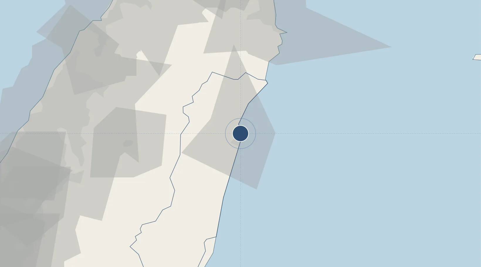
24.0232°, 121.6180°
9,022 ft
Longest runway
3
Runways
52 ft
Elevation

Runway & Layout

Hualien Chiashan Airport runway & taxiway layout
Runway & taxiway layout — OpenStreetMap (ODbL) / OurAirports

Radio Frequencies

TWR
118.1 MHz
GND
121.9 MHz
APP
119.1 MHz
OurAirports

Navaids

HLN TACAN Hualien 108.60 MHz
HLN VOR-DME Hualien 114.10 MHz
HW NDB Hualien 280 kHz
YU NDB Hualien 380 kHz
OurAirports

Runways · 3

RunwayDimensions SurfaceTrue headingLit
03/21 9,022 × 148ft Asphalt / concrete 026°
03L/21R 9,022 × 148ft Asphalt / concrete 026°
03R/21L 9,005 × 75ft Asphalt 026°
OurAirports

Airport Specifications

IATA code
HUN
OurAirports
ICAO code
RCYU
OurAirports
Airport class
Large airport
OurAirports
Scheduled service
Yes
OurAirports
Runway surface
Asphalt / concrete
OurAirports
Served city
Hualien City
OurAirports

Location

Location of RCYU
Natural Earth 10m (public domain) · Hualien · RCYU · 24.02, 121.62GoogleOSMYandex

Nearby Logistics Neighbours

Airports
  1. 1Longtan Air Base100 km
  2. 2Taichung International Airport / Ching Chuang Kang Air Base105 km
  3. 3Hsinchu Air Base112 km
  4. 4Taipei Songshan International Airport116 km
  5. 5Taiwan Taoyuan International Airport124 km
Nearest neighbours — logibook spatial index (haversine) over the source coordinates
Cities
  1. 1Hoping30 km
  2. 2I-lan84 km
  3. 3Feng-yüan-ch'ü95 km
  4. 4Nantou96 km
  5. 5Miao-li100 km
Nearest neighbours — logibook spatial index (haversine) over the source coordinates
Ports
  1. 1Hua-Lien Kang5 km
  2. 2Su-Ao69 km
  3. 3Tai-Chung Kang118 km
  4. 4Chi-Lung124 km
  5. 5Tan-Shui131 km
Nearest neighbours — logibook spatial index (haversine) over the source coordinates
Trade Zones
  1. 1Port Of Suao Free Trade Zone68 km
  2. 2Taichung Export Processing Zone95 km
  3. 3Taichung Software-Based Technology Park114 km
  4. 4Chung-Kang Export Processing Zone114 km
  5. 5Port Of Taichung Free Trade Zone116 km
Nearest neighbours — logibook spatial index (haversine) over the source coordinates
DatabookThe Record of Consolidated Knowledge
Taiwan beyond logistics?
Browse databook

All Sources

AirportsOurAirports
Public domain
Portsthe NGA World Port Index
Public domain (US gov)
LocationsUN/LOCODE
UN/LOCODE — free
Trade Zonesthe World Bank SEZ database
CC BY 4.0
Trade ZonesOpen Zone Map
CC BY
InfrastructureOpenStreetMap
ODbL 1.0
← Taiwan airports