Transport Functions
Rail
Road
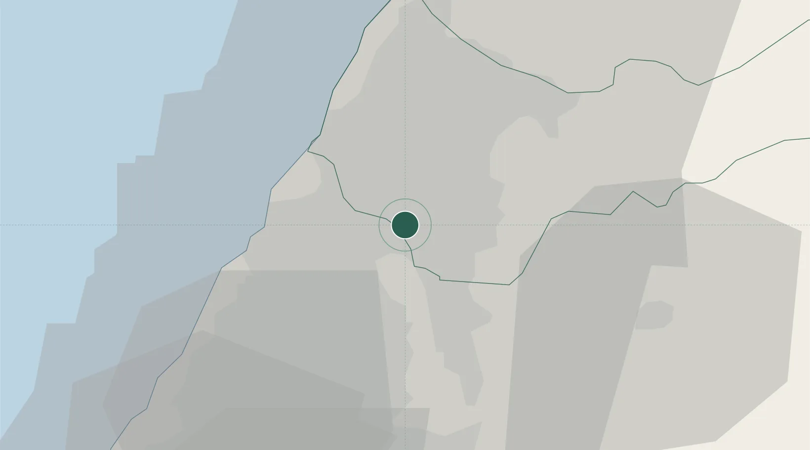
Location
Nearby Logistics Neighbours
Cities
- 1Chang-Hua11 km
- 2Taichung19 km
- 3Feng-yüan-ch'ü20 km
- 4Nantou23 km
- 5Mai-Liai54 km
Ports
- 1Tai-Chung Kang25 km
- 2Mailiao58 km
- 3Hua-Lien Kang101 km
- 4Peng-Hu Kang124 km
- 5Su-Ao138 km
Airports
Trade Zones
DatabookThe Record of Consolidated Knowledge
Taiwan beyond logistics?