Transport Functions
Rail
Road
Hub Profile
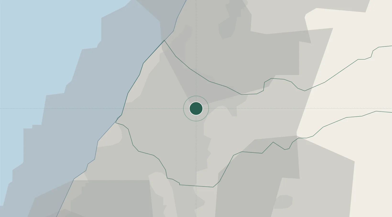
Region
TXG
Location
Nearby Logistics Neighbours
Ports
- 1Tai-Chung Kang23 km
- 2Mailiao76 km
- 3Hua-Lien Kang94 km
- 4Su-Ao123 km
- 5Tan-Shui125 km
Airports
DatabookThe Record of Consolidated Knowledge
Taiwan beyond logistics?