Transport Functions
Rail
Road
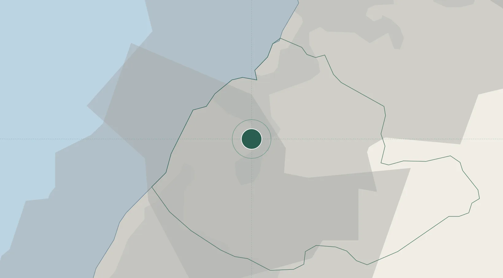
Hub Profile
Place type
Provincial seat
Region
Taiwan
Population
86,327
Time zone
Asia/Taipei
Elevation
53 m
Location
Nearby Logistics Neighbours
Cities
- 1Feng-yüan-ch'ü35 km
- 2Chu-pei37 km
- 3Taichung43 km
- 4Hukou46 km
- 5Wu-jih54 km
Ports
- 1Tai-Chung Kang42 km
- 2Tan-Shui92 km
- 3Hua-Lien Kang101 km
- 4Su-Ao106 km
- 5Mailiao108 km
Airports
DatabookThe Record of Consolidated Knowledge
Taiwan beyond logistics?