About
Methodology
Sources
Licensing
English
EN
English
TR
Türkçe
DE
Deutsch
FR
Français
ES
Español
IT
Italiano
PT
Português
NL
Nederlands
PL
Polski
RU
Русский
UK
Українська
CS
Čeština
RO
Română
EL
Ελληνικά
BG
Български
AR
العربية
FA
فارسی
UR
اردو
HI
हिन्दी
BN
বাংলা
ID
Bahasa Indonesia
VI
Tiếng Việt
ZH
中文
JA
日本語
KO
한국어
logibook
/
Countries
/
Taiwan
/
Locations
/
Yung-K'Ang
UN/LOCODE hub ·
Taiwan
TW
UGK
Yung-K'Ang
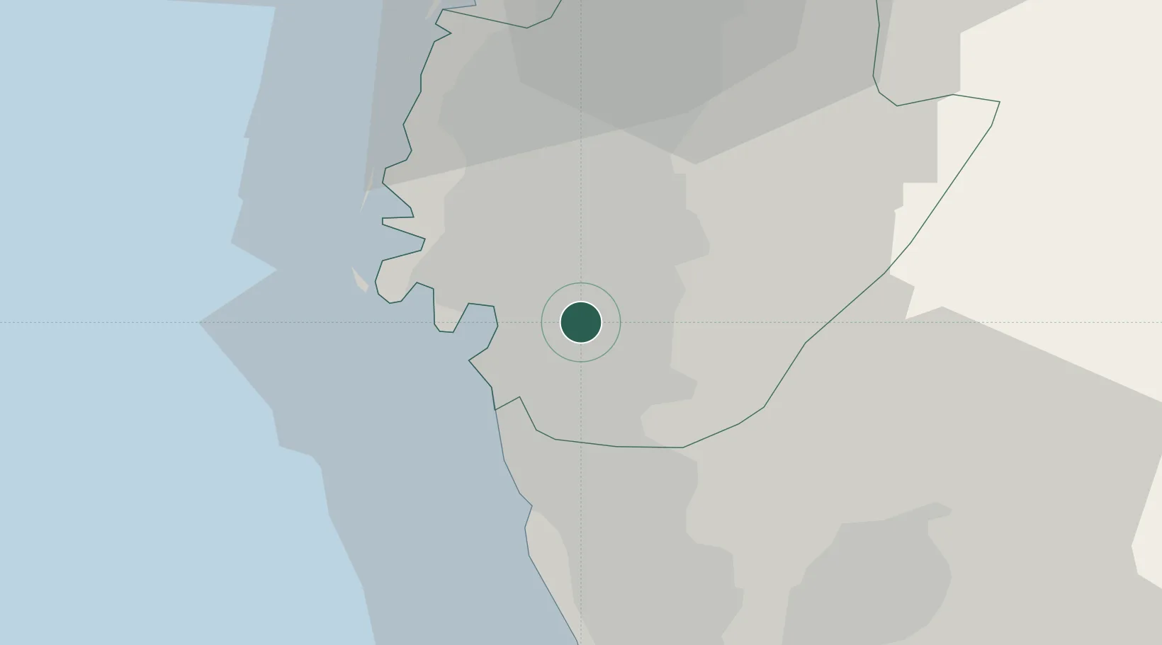
23.0167°, 120.2500°
1
Transport functions
Transport Functions
Multimodal
UN/LOCODE
Location
Natural Earth 10m (public domain) · Tainan City · TWUGK · 23.02, 120.25
Google ↗
OSM ↗
Yandex ↗
Nearby Logistics Neighbours
Cities
1
Mai-liao
15 km
2
Budai
42 km
3
Kaohsiung
51 km
4
Mai-Liai
82 km
5
Lung-men
85 km
Nearest neighbours — logibook spatial index (haversine) over the source coordinates
Ports
1
Kao-Hsiung
45 km
2
Mailiao
86 km
3
Peng-Hu Kang
97 km
4
Tai-Chung Kang
145 km
5
Hua-Lien Kang
175 km
Nearest neighbours — logibook spatial index (haversine) over the source coordinates
Airports
1
Tainan International Airport / Tainan Air Base
9 km
2
Gangshan Air Force Base
26 km
3
Zuoying Naval Airfield
35 km
4
Pingtung Air Force Base North
43 km
5
Pingtung Air Force Base
44 km
Nearest neighbours — logibook spatial index (haversine) over the source coordinates
Trade Zones
1
Port Of Anping Free Trade Zone
10 km
2
Nantze 2nd Export Processing Zone
35 km
3
Nantze Export Processing Zone
43 km
4
Port Of Kaohsiung Free Trade Zone
44 km
5
Kaohsiung Software-Based Technology Park
46 km
Nearest neighbours — logibook spatial index (haversine) over the source coordinates
Data
book
The Record of Consolidated Knowledge
Taiwan beyond logistics?
Browse databook
→
All Sources
Locations
UN/LOCODE
UN/LOCODE — free
↗
Ports
the NGA World Port Index
Public domain (US gov)
↗
Airports
OurAirports
Public domain
↗
Trade Zones
the World Bank SEZ database
CC BY 4.0
↗
Trade Zones
Open Zone Map
CC BY
↗
← Taiwan locations