Runway & Layout

Airport Specifications
Airport class
Medium airport
Scheduled service
No
Served city
Kaohsiung (Zuoying)
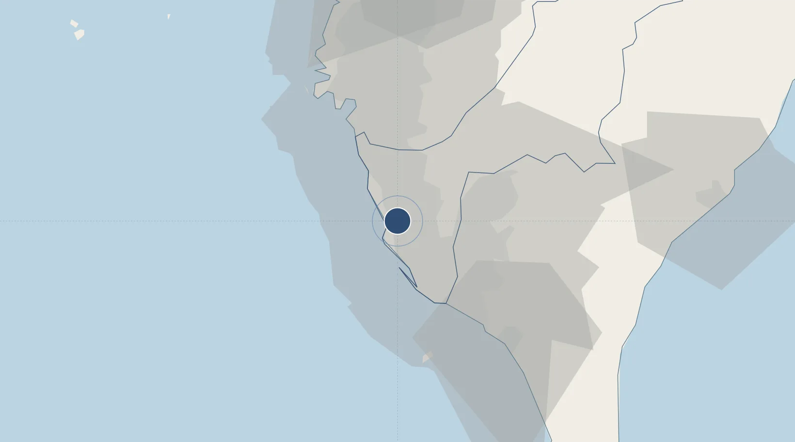
Location
Nearby Logistics Neighbours
Airports
Cities
- 1Kaohsiung16 km
- 2Yung-K'Ang35 km
- 3Mai-liao47 km
- 4Budai76 km
- 5Lung-men115 km
Ports
- 1Kao-Hsiung10 km
- 2Mailiao121 km
- 3Peng-Hu Kang124 km
- 4Tai-Chung Kang179 km
- 5Hua-Lien Kang196 km
DatabookThe Record of Consolidated Knowledge
Taiwan beyond logistics?